
Size of this preview:
800 × 566 pixels. Other resolutions:
320 × 226 pixels |
640 × 453 pixels |
960 × 679 pixels.
Original file (960 × 679 pixels, file size: 371 KB, MIME type: image/jpeg)
| This is a file from the
Wikimedia Commons. Information from its
description page there is shown below. Commons is a freely licensed media file repository. You can help. |
Summary
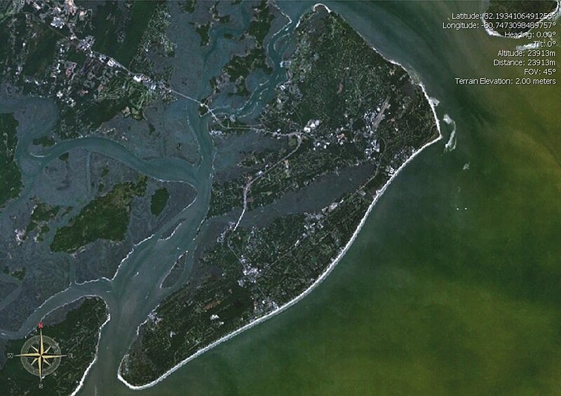
| Description | Satellite image of Hilton Head Island, South Carolina, United States. |
| Date | |
| Source | World Wind project |
| Author | NASA |
Licensing
| This image is in the
public domain because it is a screenshot from
NASA’s globe software
World Wind using a public domain layer, such as Blue Marble, MODIS, Landsat, SRTM, USGS or GLOBE.
|
 |
File history
Click on a date/time to view the file as it appeared at that time.
| Date/Time | Thumbnail | Dimensions | User | Comment | |
|---|---|---|---|---|---|
| current | 12:13, 24 December 2009 |
| 960 × 679 (371 KB) | Yassie | {{Information |Description= Satellite image of Hilton Head Island, South Carolina, United States. |Source= World Wind project |Date= 2007-01-31 |Author= NASA |Permission= |other_versions= }} |
File usage
The following pages on the English Wikipedia use this file (pages on other projects are not listed):
Global file usage
The following other wikis use this file:
- Usage on de.wikivoyage.org
- Usage on ja.wikipedia.org