
Size of this preview:
800 × 575 pixels. Other resolutions:
320 × 230 pixels |
640 × 460 pixels |
1,024 × 736 pixels |
1,280 × 920 pixels |
2,560 × 1,840 pixels |
9,752 × 7,009 pixels.
Original file (9,752 × 7,009 pixels, file size: 45.77 MB, MIME type: image/jpeg)
| This is a file from the
Wikimedia Commons. Information from its
description page there is shown below. Commons is a freely licensed media file repository. You can help. |
Summary
|
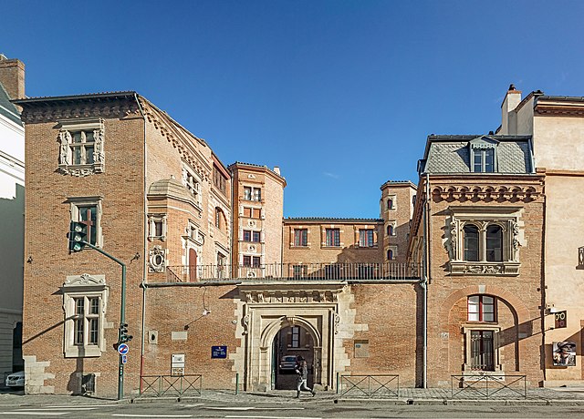
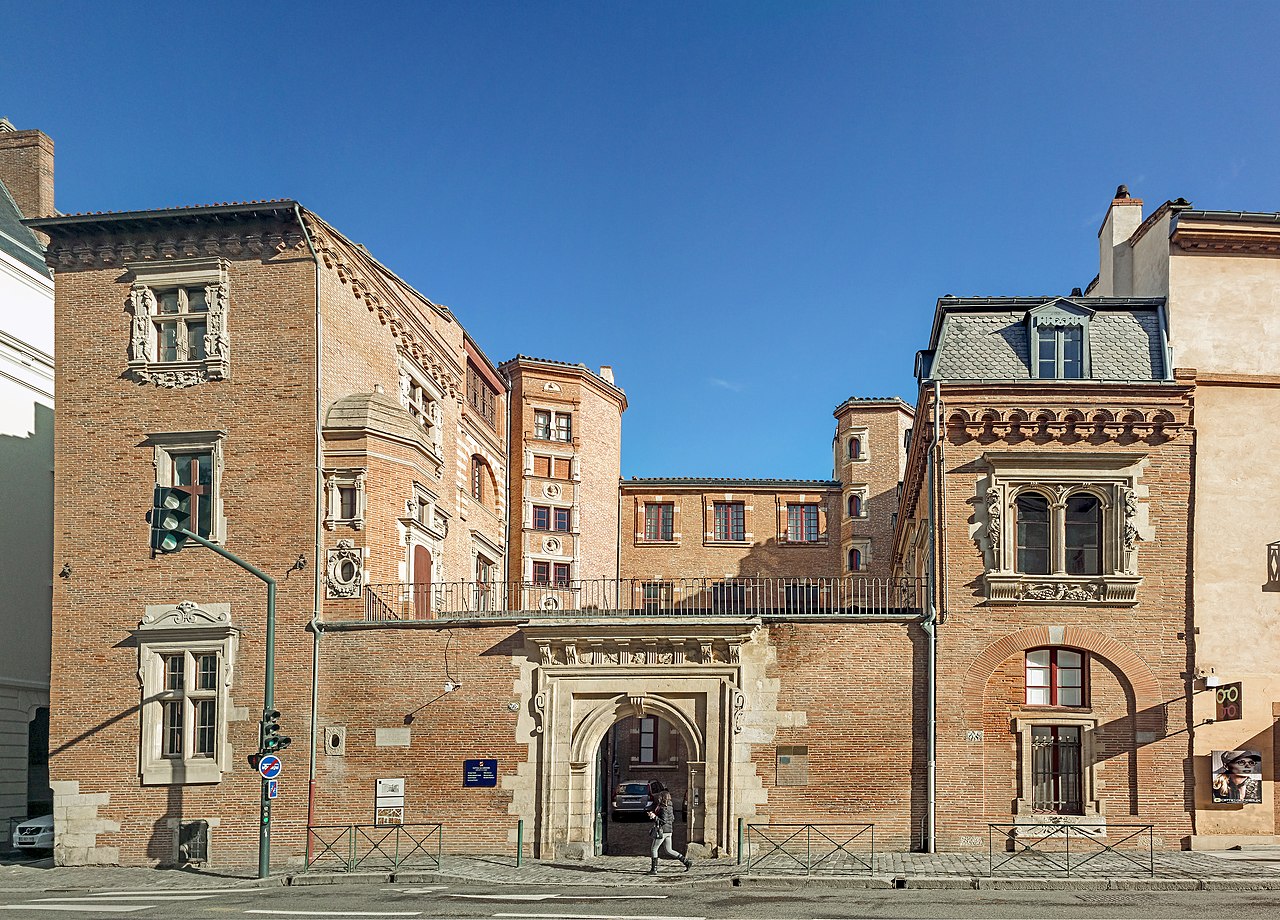
Hôtel du Vieux-Raisin in Toulouse. Facade, on rue du Languedoc Toulouse. | |||||||||||||||||||||||
|
| |||||||||||||||||||||||

| Annotations | This image is annotated: View the annotations at Commons |

File history
Click on a date/time to view the file as it appeared at that time.
| Date/Time | Thumbnail | Dimensions | User | Comment | |
|---|---|---|---|---|---|
| current | 21:53, 28 November 2014 |
| 9,752 × 7,009 (45.77 MB) | Archaeodontosaurus | Color correction |
| 18:08, 28 November 2014 |
 | 9,752 × 7,009 (47.91 MB) | Archaeodontosaurus | artifact corrected | |
| 17:35, 28 November 2014 |
 | 9,752 × 7,009 (47.91 MB) | Archaeodontosaurus | {{Information |Description ={{en|1=c}} |Source ={{own}} |Author = Archaeodontosaurus |Date = |Permission = |other_versions = }} |
File usage
The following pages on the English Wikipedia use this file (pages on other projects are not listed):
Global file usage
The following other wikis use this file:
- Usage on ca.wikipedia.org
- Usage on de.wikipedia.org
- Usage on es.wikipedia.org
- Usage on fr.wikipedia.org
- Usage on it.wikipedia.org
- Usage on oc.wikipedia.org
- Usage on www.wikidata.org