
Size of this preview:
800 × 533 pixels. Other resolutions:
320 × 213 pixels |
640 × 427 pixels |
1,024 × 683 pixels |
1,200 × 800 pixels.
Original file (1,200 × 800 pixels, file size: 927 KB, MIME type: image/jpeg)
| This is a file from the
Wikimedia Commons. Information from its
description page there is shown below. Commons is a freely licensed media file repository. You can help. |
Summary
| Description |
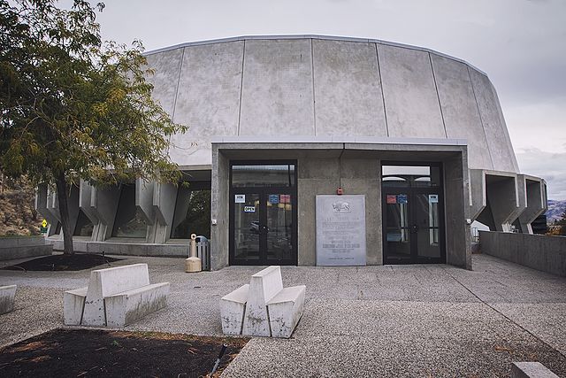
English: Grand Coulee Dam Visitor Center |
||
| Date | |||
| Source | Own work | ||
| Author | Steven Pavlov | ||
| Permission ( Reusing this file) |
Please do not copy this image illegally by ignoring the terms of the license. This file is licensed under the
Creative Commons
Attribution-Share Alike 4.0 International license.
| ||
| Attribution ( required by the license) | © Steven Pavlov / https://commons.wikimedia.org/wiki/User:Senapa / | ||
| Other versions |
|

| Camera location |
| View this and other nearby images on: OpenStreetMap |
|
|---|
File history
Click on a date/time to view the file as it appeared at that time.
| Date/Time | Thumbnail | Dimensions | User | Comment | |
|---|---|---|---|---|---|
| current | 04:41, 15 December 2016 |
| 1,200 × 800 (927 KB) | Senapa | User created page with UploadWizard |
File usage
The following pages on the English Wikipedia use this file (pages on other projects are not listed):
Global file usage
The following other wikis use this file:
- Usage on eu.wikipedia.org