
Size of this PNG preview of this SVG file:
800 × 426 pixels. Other resolutions:
320 × 170 pixels |
640 × 341 pixels |
1,024 × 545 pixels |
1,280 × 681 pixels |
2,560 × 1,363 pixels |
1,715 × 913 pixels.
Original file (SVG file, nominally 1,715 × 913 pixels, file size: 141 KB)
| This is a file from the
Wikimedia Commons. Information from its
description page there is shown below. Commons is a freely licensed media file repository. You can help. |
Summary
| Description |
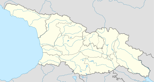
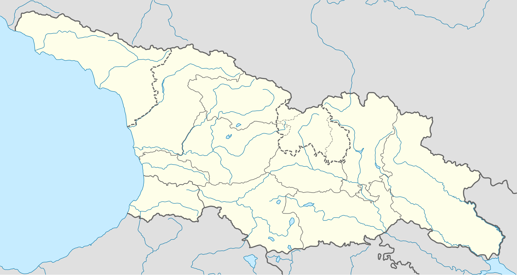
Deutsch: Positionskarte von
Georgien
Quadratische Plattkarte, N-S-Streckung 135 %. Geographische Begrenzung der Karte:
English: Location map of
Georgia
Equirectangular projection, N/S stretching 135 %. Geographic limits of the map:
|
| Date | |
| Source |
Own work, using
|
| Author | NordNordWest |
| Permission ( Reusing this file) |
I, the copyright holder of this work, hereby publish it under the following license: This file is licensed under the
Creative Commons
Attribution-Share Alike 3.0 Unported license.
|
| Other versions |
|


File history
Click on a date/time to view the file as it appeared at that time.
| Date/Time | Thumbnail | Dimensions | User | Comment | |
|---|---|---|---|---|---|
| current | 10:13, 28 October 2018 |
| 1,715 × 913 (141 KB) | NordNordWest | Reverted to version as of 11:58, 25 May 2013 (UTC), COM:OVERWRITE |
| 09:14, 28 October 2018 |
 | 1,715 × 913 (147 KB) | Lamensi | De facto independence | |
| 11:58, 25 May 2013 |
 | 1,715 × 913 (141 KB) | NordNordWest | Reverted to version as of 16:47, 24 July 2011, COM:OVERWRITE, too important to change without discussion | |
| 11:58, 25 May 2013 |
 | 1,715 × 913 (141 KB) | NordNordWest | Reverted to version as of 16:47, 24 July 2011, COM:OVERWRITE, too important to change without discussion | |
| 22:49, 24 May 2013 |
 | 1,715 × 913 (149 KB) | Giorgi Balakhadze | South Ossetian Autonomous Region was revoked on December 10, 1990 by the Supreme Soviet of the Georgian SSR. So it's not correct to show it in modern maps. [http://en.wikipedia.org/wiki/South_Ossetian_Autonomous_Oblast] | |
| 16:47, 24 July 2011 |
 | 1,715 × 913 (141 KB) | NordNordWest | corr | |
| 08:31, 10 September 2009 |
 | 1,716 × 913 (270 KB) | NordNordWest | ||
| 20:46, 9 September 2009 |
 | 1,716 × 879 (271 KB) | NordNordWest | =={{int:filedesc}}== {{Information |Description= {{de|Positionskarte von Georgien}} Quadratische Plattkarte, N-S-Streckung 130 %. Geographische Begrenzung der Karte: * N: 43.7° N * S: 40.9° N * W: 39.8° O * O: 46.9° O {{en|Location ma |
File usage
More than 100 pages use this file. The following list shows the first 100 pages that use this file only. A full list is available.
- Abasha
- Adigeni
- Adishi (village)
- Akhalgori
- Akhalkalaki
- Akhaltsikhe
- Akhmeta
- Alaverdi Monastery
- Anaklia
- Armazi
- Aspindza
- Avadhara
- Bagrati Cathedral
- Bakuriani
- Barakoni
- Batumi Botanical Garden
- Batumi International Airport
- Bedia Cathedral
- Bodbe Monastery
- Borjomi
- Chanchati
- Chkhalta
- Chokhatauri
- Chuburkhindji
- David Gareja monastery complex
- Dedoplistsqaro
- Didi 10
- Dranda Cathedral
- Dusheti
- Erovnuli Liga
- Gagra
- Gali (town)
- Gantiadi
- Gonio Fortress
- Gremi
- Gudauri
- Gudauta
- Gulripshi
- Gurjaani
- Heroes Square
- Heshtia
- Jvari (town)
- Kartlis Deda
- Kashveti Church
- Keda, Georgia
- Khelvachauri
- Khobi
- Khulo
- Kobuleti
- Kojori
- Kutaisi International Airport
- Kvareli
- Kvishkheti
- Labra (village)
- Lanchkhuti
- Leselidze (town)
- List of airports in Georgia (country)
- List of top-division football clubs in UEFA countries
- Lykhny
- Mamati
- Manavi
- Martvili
- Matani, Georgia
- Mestia
- Mokvi Cathedral
- Mughanlo
- Myussera
- Narikala
- Nikortsminda Cathedral
- Ninotsminda
- Nokalakevi
- Ochamchire
- Omalo
- Pitsunda
- Pitsunda Cathedral
- Poti
- Pskhu
- Roki Tunnel
- Sagarejo
- Sarpi, Georgia
- Senaki
- Shavnabada Monastery
- Shuakhevi
- Signagi
- Supsa
- Tbilisi International Airport
- Tbilisi Sioni Cathedral
- Telavi
- Tianeti
- Tkibuli
- Tsalenjikha
- Tsalenjikha Cathedral
- Tsinandali
- Tsnori
- Ubisi
- Urbnisi
- Ushguli
- Vale, Georgia
- Vaqiri
- Zemo Nikozi
View more links to this file.
Global file usage
The following other wikis use this file:
- Usage on af.wikipedia.org
- Usage on an.wikipedia.org
- Usage on ast.wikipedia.org
- Usage on av.wikipedia.org
- Usage on azb.wikipedia.org
- Usage on az.wikipedia.org
- Qaqra
- Tbilisi
- Faxralı
- Dmanisi
- Kəpənəkçi (Bolnisi)
- Sadaxlı
- Kəpənəkçi (Sarvan)
- Saraçlı (Borçalı)
- Qızılhacılı (Marneuli)
- İmirhəsən
- Yırğançay
- Qoçulu (Borçalı)
- Aşağı Qarabulaq
- Yuxarı Qarabulaq
- Arıxlı
- Rustavi
- Səfərli (Başkeçid)
- Aşağı Oruzman
- Soğanlıq
- Marabda
- Söyüdlü (Başkeçid)
- Qaracalar (Qarayazı)
- Salamməlik
- Saqareco
- Məmişlər (Başkeçid)
- Tbilisi Azərbaycan Teatrı
- Təkəli (Marneuli)
- Ağaməmmədli (Marneuli)
View more global usage of this file.