
Size of this PNG preview of this SVG file:
772 × 600 pixels. Other resolutions:
309 × 240 pixels |
618 × 480 pixels |
989 × 768 pixels |
1,280 × 994 pixels |
2,560 × 1,988 pixels |
954 × 741 pixels.
Original file (SVG file, nominally 954 × 741 pixels, file size: 4.56 MB)
| This is a file from the
Wikimedia Commons. Information from its
description page there is shown below. Commons is a freely licensed media file repository. You can help. |
Summary
| Description |
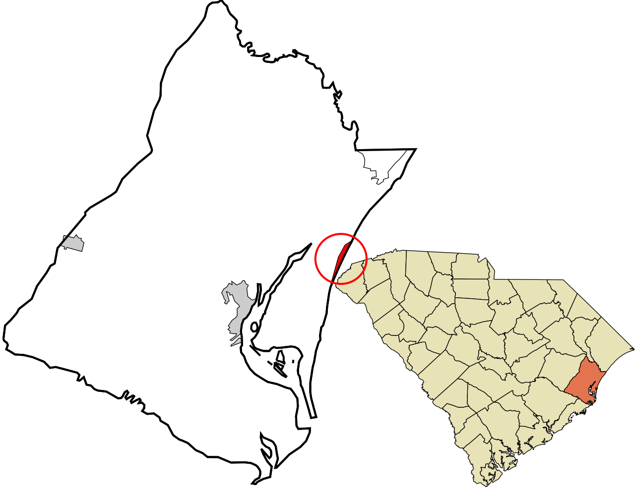
English: Map showing the location of this town within Georgetown County, South Carolina. Data source:
2010 U.S. census |
| Date | |
| Source | Own work |
| Author | Rcsprinter123 |
Licensing
I, the copyright holder of this work, hereby publish it under the following license:
This file is licensed under the
Creative Commons
Attribution 3.0 Unported license.
- You are free:
- to share – to copy, distribute and transmit the work
- to remix – to adapt the work
- Under the following conditions:
- attribution – You must give appropriate credit, provide a link to the license, and indicate if changes were made. You may do so in any reasonable manner, but not in any way that suggests the licensor endorses you or your use.
File history
Click on a date/time to view the file as it appeared at that time.
| Date/Time | Thumbnail | Dimensions | User | Comment | |
|---|---|---|---|---|---|
| current | 22:29, 31 March 2016 |
| 954 × 741 (4.56 MB) | Rcsprinter123 | User created page with UploadWizard |
File usage
The following pages on the English Wikipedia use this file (pages on other projects are not listed):
Global file usage
The following other wikis use this file:
- Usage on ar.wikipedia.org
- Usage on ca.wikipedia.org
- Usage on eu.wikipedia.org
- Usage on fr.wikipedia.org
- Usage on ht.wikipedia.org
- Usage on tt.wikipedia.org
- Usage on www.wikidata.org
- Usage on zh-min-nan.wikipedia.org