
Size of this preview:
797 × 600 pixels. Other resolutions:
319 × 240 pixels |
638 × 480 pixels |
1,021 × 768 pixels |
1,280 × 963 pixels |
2,560 × 1,926 pixels |
3,793 × 2,854 pixels.
Original file (3,793 × 2,854 pixels, file size: 2.69 MB, MIME type: image/jpeg)
| This is a file from the
Wikimedia Commons. Information from its
description page there is shown below. Commons is a freely licensed media file repository. You can help. |
Summary
| Description |
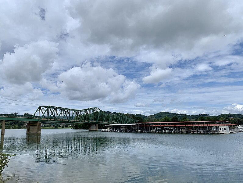
English: A marina located adjacent to German Creek Bridge on Cherokee Lake in Bean Station, Tennessee. |
| Date | |
| Source | Own work |
| Author | AppalachianCentrist |
| Camera location | | View this and other nearby images on: OpenStreetMap |
|
|---|
Licensing
I, the copyright holder of this work, hereby publish it under the following license:
This file is licensed under the
Creative Commons
Attribution-Share Alike 4.0 International license.
- You are free:
- to share – to copy, distribute and transmit the work
- to remix – to adapt the work
- Under the following conditions:
- attribution – You must give appropriate credit, provide a link to the license, and indicate if changes were made. You may do so in any reasonable manner, but not in any way that suggests the licensor endorses you or your use.
- share alike – If you remix, transform, or build upon the material, you must distribute your contributions under the same or compatible license as the original.
File history
Click on a date/time to view the file as it appeared at that time.
| Date/Time | Thumbnail | Dimensions | User | Comment | |
|---|---|---|---|---|---|
| current | 19:43, 30 June 2020 |
| 3,793 × 2,854 (2.69 MB) | Vanished user 7782930114 | Uploaded own work with UploadWizard |
File usage
The following pages on the English Wikipedia use this file (pages on other projects are not listed):
- Baneberry, Tennessee
- Bean Station, Tennessee
- Blaine, Tennessee
- Cherokee Lake
- Dandridge, Tennessee
- Grainger County, Tennessee
- Hamblen County, Tennessee
- Jefferson City, Tennessee
- Jefferson County, Tennessee
- Morristown, Tennessee
- Morristown metropolitan area
- New Market, Tennessee
- Rutledge, Tennessee
- White Pine, Tennessee
- Template:Morristown Metro
Global file usage
The following other wikis use this file:
- Usage on fr.wikipedia.org