
Size of this preview:
800 × 532 pixels. Other resolutions:
320 × 213 pixels |
640 × 426 pixels |
1,024 × 681 pixels |
1,280 × 851 pixels |
2,560 × 1,702 pixels |
6,016 × 4,000 pixels.
Original file (6,016 × 4,000 pixels, file size: 6.34 MB, MIME type: image/jpeg)
| This is a file from the
Wikimedia Commons. Information from its
description page there is shown below. Commons is a freely licensed media file repository. You can help. |
| Camera location |
| View this and other nearby images on: OpenStreetMap |
|
|---|
| Description |
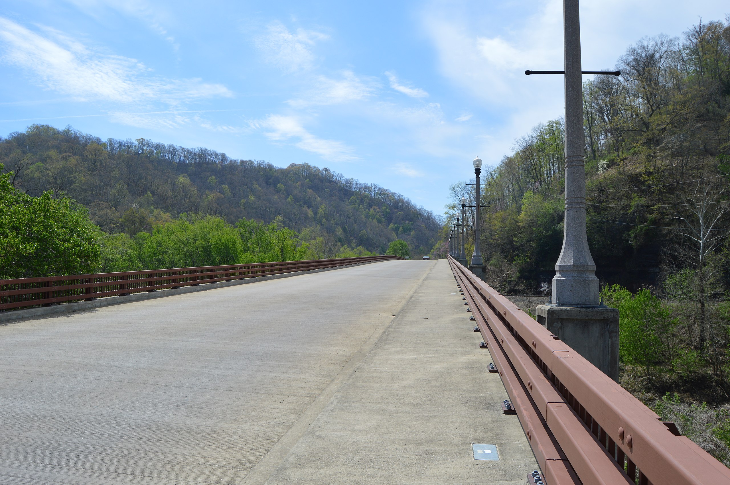
English: Northern end of the bridge that carries Front Street over the Levisa Fork in
Prestonsburg,
Kentucky,
United States. The previous bridge on this site, known as the
Town Branch Bridge, was built in 1932; it was listed on the
National Register of Historic Places in 1989, but it has since been destroyed. |
||
| Date | Taken on 21 April 2014 | ||
| Source | Own work | ||
| Author | Nyttend | ||
| Permission ( Reusing this file) |
|
File history
Click on a date/time to view the file as it appeared at that time.
| Date/Time | Thumbnail | Dimensions | User | Comment | |
|---|---|---|---|---|---|
| current | 21:20, 4 May 2014 |
| 6,016 × 4,000 (6.34 MB) | Nyttend | {{NRHP|89000396}} {{Location|37|39|51|N|82|46|24|W}} {{Information |Description={{en|Northern end of the bridge that carries Front Street over the Levisa Fork in {{w|Prestonsburg, Kentucky|Prestonsburg}}, {{w|Kentucky}}, {{w|United States}}. The previ... |
File usage
The following pages on the English Wikipedia use this file (pages on other projects are not listed):