No higher resolution available.
FranklinTownshipWarrenCountyOhiomap.gif (500 × 375 pixels, file size: 42 KB, MIME type: image/gif)
| This is a file from the
Wikimedia Commons. Information from its
description page there is shown below. Commons is a freely licensed media file repository. You can help. |
Summary
| Description | |
| Date | |
| Source |
http://factfinder.census.gov [1] |
| Author | w:United States Census Bureau |
| Permission ( Reusing this file) |
Public domain |
Licensing
This image or file is a work of a
United States Census Bureau employee, taken or made as part of that person's official duties. As a
work of the
U.S. federal government, the image is in the
public domain.
|
 |
File history
Click on a date/time to view the file as it appeared at that time.
| Date/Time | Thumbnail | Dimensions | User | Comment | |
|---|---|---|---|---|---|
| current | 17:02, 27 July 2005 |
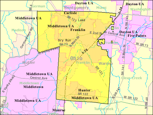
| 500 × 375 (42 KB) | PedanticallySpeaking | {{pd}} From Census Bureau's American Fact Finder site (http://factfinder.census.gov/servlet/DTGeoSearchByListServlet?ds_name=DEC_2000_SF1_U&_lang=en&_ts=140529596783) Map of Franklin Township, Warren County, Ohio |
File usage
The following pages on the English Wikipedia use this file (pages on other projects are not listed):
Global file usage
The following other wikis use this file:
- Usage on zh.wikipedia.org