No higher resolution available.
Fort_jackson.jpg (732 × 472 pixels, file size: 37 KB, MIME type: image/jpeg)
| This is a file from the
Wikimedia Commons. Information from its
description page there is shown below. Commons is a freely licensed media file repository. You can help. |
| Description |
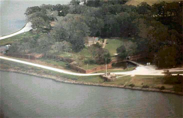
This is an aerial photo of Fort Jackson in Louisiana, on the Mississippi River
|
||||||||
| Date | Not dated. Uploaded to en:Wikipedia 00:47, 11 April 2008 | ||||||||
| Source | Photo by en:User:Jmulhearn. Previously uploaded to en:Wikipedia with the same name. | ||||||||
| Author | en:User:Jmulhearn | ||||||||
| Permission ( Reusing this file) |
|

| Object location |
| View this and other nearby images on: OpenStreetMap |
|
|---|
File history
Click on a date/time to view the file as it appeared at that time.
| Date/Time | Thumbnail | Dimensions | User | Comment | |
|---|---|---|---|---|---|
| current | 00:21, 12 November 2008 |
| 732 × 472 (37 KB) | Infrogmation | {{Information |Description= This is an aerial photo of Fort Jackson in Louisiana, on the Mississippi River |Source= Photo by en:User:Jmulhearn. Previously uploaded to en:Wikipedia with the same name. |Date= Not dated. Uploaded to en:Wikipedia 00:47, |
File usage
The following pages on the English Wikipedia use this file (pages on other projects are not listed):
Global file usage
The following other wikis use this file:
- Usage on es.wikipedia.org
- Usage on fr.wikipedia.org
- Usage on it.wikipedia.org
- Usage on ru.wikipedia.org
- Usage on www.wikidata.org