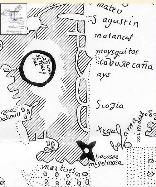
Original file (652 × 782 pixels, file size: 75 KB, MIME type: image/jpeg)
Copy from The Lowery Collection. A Descriptive List of Maps of the Spanish Possessions within the United States, 1502-1820. Government Printing Office, Washington, D.C. 1912. pp 100-101. The original is in the Archives of the Indies in Sevilla, Spain and is listed in Maps de Mexico y Florida by Pedro Torre Lanzas. Tedbro ( talk) 16:27, 14 February 2012 (UTC)
License
| This work is in the public domain in the United States because it was published (or registered with the U.S. Copyright Office) before January 1, 1929. |
|
 | This file is a candidate to be copied to
Wikimedia Commons.
Any user may perform this transfer; refer to Wikipedia:Moving files to Commons for details. If this file has problems with attribution, copyright, or is otherwise ineligible for Commons, then remove this tag and DO NOT transfer it; repeat violators may be blocked from editing. Other Instructions
| ||
| |||
File history
Click on a date/time to view the file as it appeared at that time.
| Date/Time | Thumbnail | Dimensions | User | Comment | |
|---|---|---|---|---|---|
| current | 16:27, 14 February 2012 |
 | 652 × 782 (75 KB) | Tedbro ( talk | contribs) | Copy from The Lowery Collection. A Descriptive List of Maps of the Spanish Possessions within the United States, 1502-1820. Government Printing Office, Washington, D.C. 1912. pp 100-101. The original is in the Archives of the Indies in Sevilla, Spain and |
You cannot overwrite this file.