
Size of this preview:
800 × 533 pixels. Other resolutions:
320 × 213 pixels |
640 × 427 pixels |
1,024 × 683 pixels |
1,280 × 853 pixels |
3,000 × 2,000 pixels.
Original file (3,000 × 2,000 pixels, file size: 4.49 MB, MIME type: image/jpeg)
| This is a file from the
Wikimedia Commons. Information from its
description page there is shown below. Commons is a freely licensed media file repository. You can help. |
.jpg)
Summary
| Description |
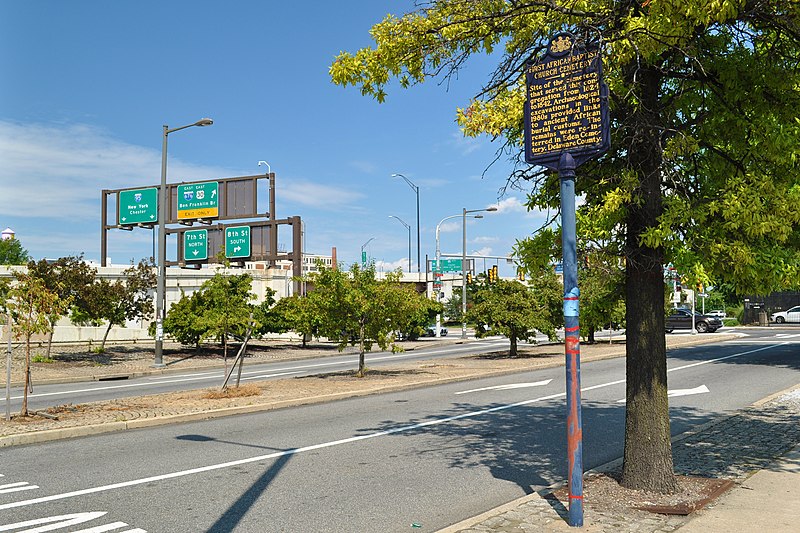
English: First African Baptist Church Cemetery. Site of the cemetery that served this congregation from 1824 to 1842. Archaeological excavations in the 1980s provided links to ancient African burial customs. The remains were re-interred in Eden Cemetery, Delaware County. (Historical Marker on Vine at 8th Sts., Philadelphia PA - Pennsylvania Historical and Museum Commission 1992) |
| Date | |
| Source | Own work |
| Author | NMGiovannucci |
| Camera location | | View this and other nearby images on: OpenStreetMap |
|
|---|
.jpg¶ms=039.956415_N_-075.153090_E_globe:Earth_type:camera_heading:68.72&language=en)
Licensing
I, the copyright holder of this work, hereby publish it under the following license:
This file is licensed under the
Creative Commons
Attribution-Share Alike 4.0 International license.
- You are free:
- to share – to copy, distribute and transmit the work
- to remix – to adapt the work
- Under the following conditions:
- attribution – You must give appropriate credit, provide a link to the license, and indicate if changes were made. You may do so in any reasonable manner, but not in any way that suggests the licensor endorses you or your use.
- share alike – If you remix, transform, or build upon the material, you must distribute your contributions under the same or compatible license as the original.
File history
Click on a date/time to view the file as it appeared at that time.
| Date/Time | Thumbnail | Dimensions | User | Comment | |
|---|---|---|---|---|---|
| current | 12:33, 26 September 2021 |
| 3,000 × 2,000 (4.49 MB) | N-gio | Uploaded own work with UploadWizard |
File usage
The following pages on the English Wikipedia use this file (pages on other projects are not listed):
.jpg)