Size of this preview:
796 × 599 pixels. Other resolutions:
319 × 240 pixels |
638 × 480 pixels |
1,020 × 768 pixels |
1,280 × 964 pixels |
2,560 × 1,927 pixels |
2,816 × 2,120 pixels.
Original file (2,816 × 2,120 pixels, file size: 1.45 MB, MIME type: image/jpeg)
| This is a file from the
Wikimedia Commons. Information from its
description page there is shown below. Commons is a freely licensed media file repository. You can help. |
|
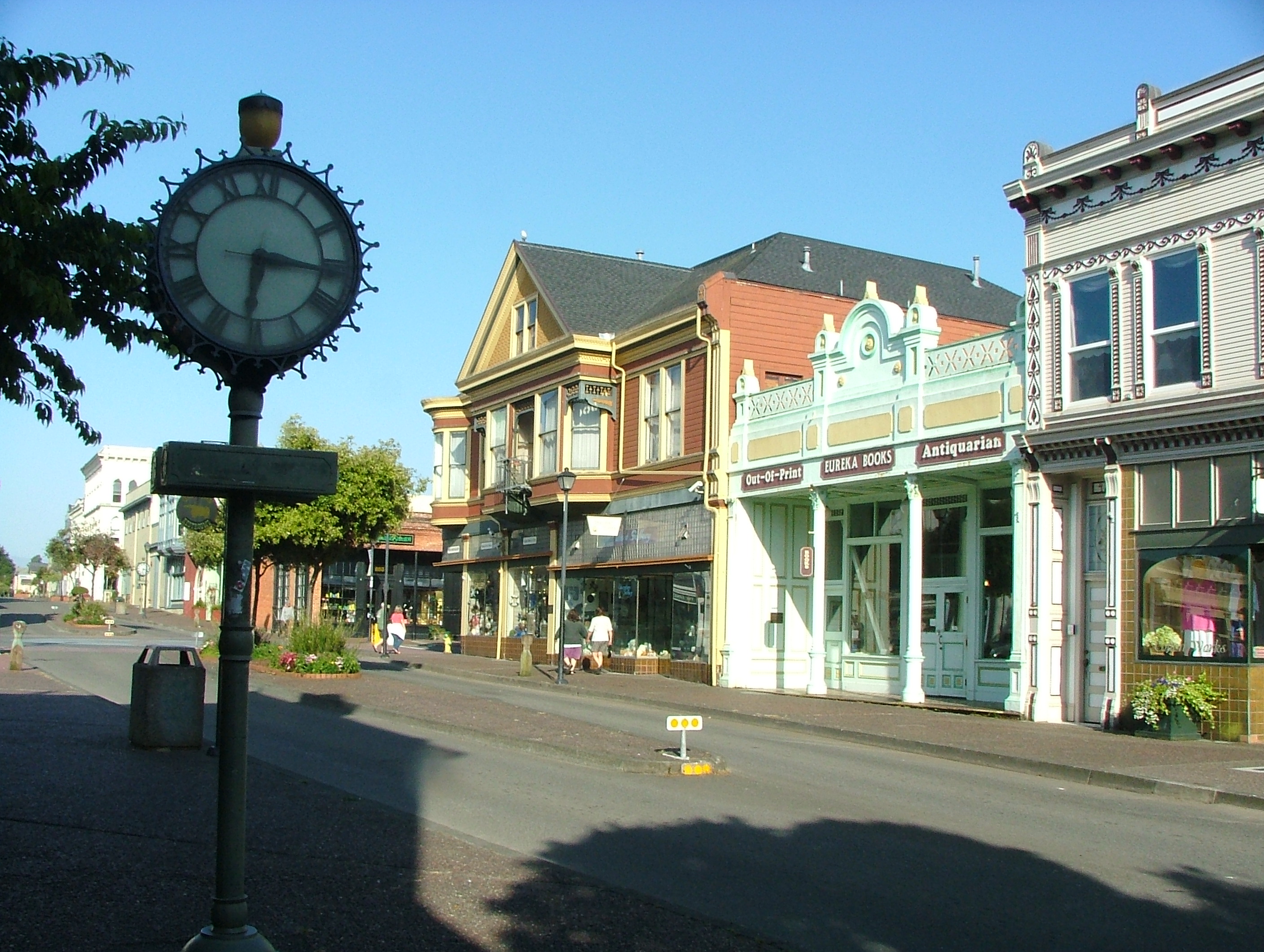
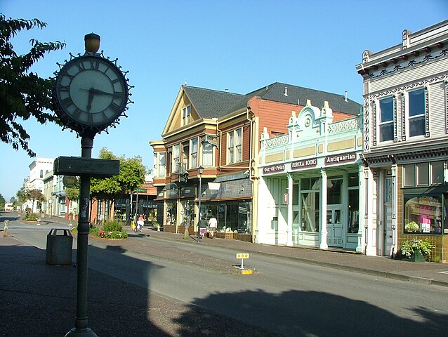
This is an image of a place or building that is listed on the
National Register of Historic Places in the
United States of America. Its reference number is
91001523. |
Summary
| Description | Second and F Streets in Eureka, California. |
| Date | |
| Source | Own work |
| Author | Jan Kronsell |
| Object location |
| View this and other nearby images on: OpenStreetMap |
|
|---|
Licensing
| I, the copyright holder of this work, release this work into the
public domain. This applies worldwide. In some countries this may not be legally possible; if so: I grant anyone the right to use this work for any purpose, without any conditions, unless such conditions are required by law. |
File history
Click on a date/time to view the file as it appeared at that time.
| Date/Time | Thumbnail | Dimensions | User | Comment | |
|---|---|---|---|---|---|
| current | 00:01, 6 December 2007 |
| 2,816 × 2,120 (1.45 MB) | Jan Kronsell | {{Information |Description=Street in Eureka, California |Source=self-made |Date=june 2006 |Author= Jan Kronsell |Permission= |other_versions= }} [ Category:Eureka, Calfornia |
File usage
The following pages on the English Wikipedia use this file (pages on other projects are not listed):
Global file usage
The following other wikis use this file:
- Usage on da.wikipedia.org
- Usage on de.wikipedia.org
- Usage on el.wikipedia.org
- Usage on fr.wikipedia.org
- Usage on io.wikipedia.org
- Usage on ja.wikipedia.org
- Usage on nl.wikipedia.org
- Usage on no.wikipedia.org
- Usage on sv.wikipedia.org
- Usage on www.wikidata.org