
Size of this preview:
800 × 450 pixels. Other resolutions:
320 × 180 pixels |
640 × 360 pixels |
1,024 × 576 pixels |
1,280 × 720 pixels |
2,816 × 1,584 pixels.
Original file (2,816 × 1,584 pixels, file size: 1.3 MB, MIME type: image/jpeg)
| This is a file from the
Wikimedia Commons. Information from its
description page there is shown below. Commons is a freely licensed media file repository. You can help. |
|
This is an image of a place or building that is listed on the
National Register of Historic Places in the
United States of America. Its reference number is
91000270. |
| Camera location |
| View this and other nearby images on: OpenStreetMap |
|
|---|
| Description |
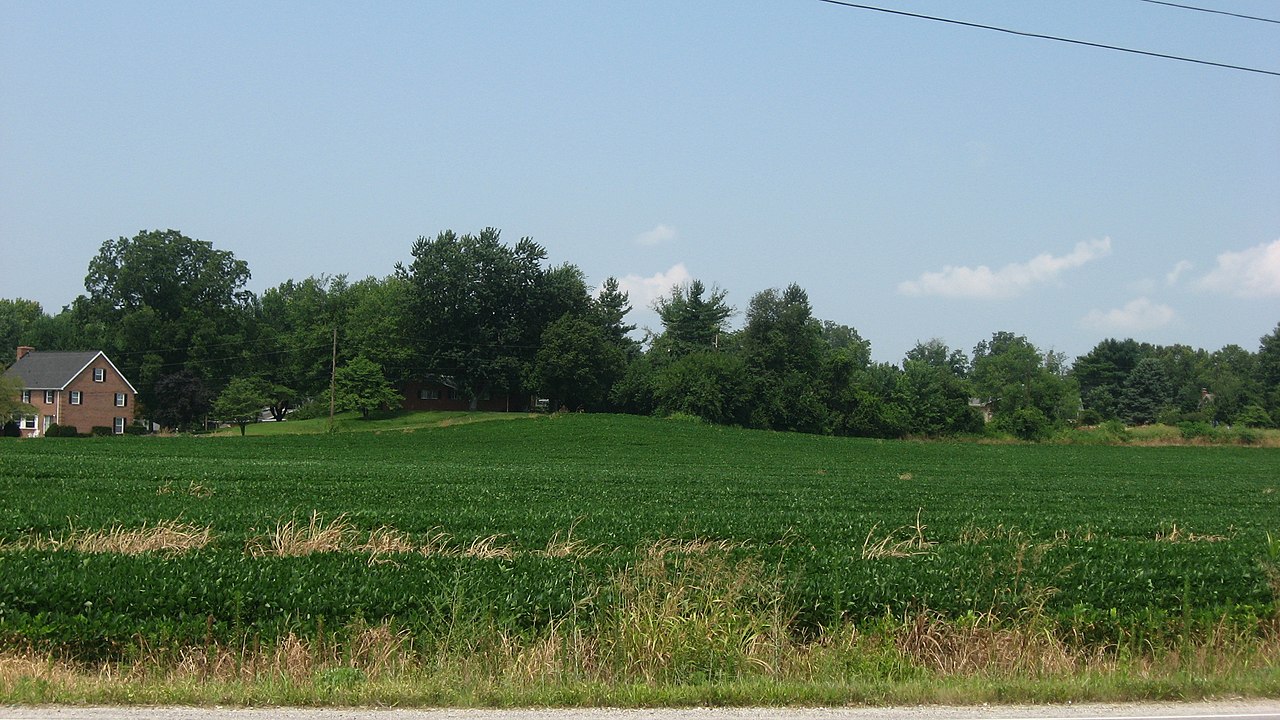
English: Overview of the
Ellerbusch Site, located on a hill northwest of the junction of
State Road 662 and Ellerbusch Road, west of
Newburgh in
Ohio Township,
Warrick County,
Indiana,
United States. Once a village of the
Mississippian culture related to the people of the nearby
Angel Site, Ellerbusch is an
archaeological site and listed on the
National Register of Historic Places. |
||
| Date | Taken on 22 July 2011 | ||
| Source | Own work | ||
| Author | Nyttend | ||
| Permission ( Reusing this file) |
|
File history
Click on a date/time to view the file as it appeared at that time.
| Date/Time | Thumbnail | Dimensions | User | Comment | |
|---|---|---|---|---|---|
| current | 20:23, 25 July 2011 |
| 2,816 × 1,584 (1.3 MB) | Nyttend | {{Location|37|57|8|N|87|25|32|W}} {{Information |Description={{en|Overview of the {{w|Ellerbusch Site}}, located on a hill northwest of the junction of {{w|Indiana State Road 662|State Road 662}} and Ellerbusch Road, west of {{w|Newburgh, Indiana|Newburgh |
File usage
The following pages on the English Wikipedia use this file (pages on other projects are not listed):
- Ellerbusch site
- List of archaeological sites on the National Register of Historic Places in Indiana
- National Register of Historic Places listings in Warrick County, Indiana
- User:Abyssal/Portal Prehistory of North America
- User:Abyssal/Prehistory of North America
- User:Abyssal/Prehistory of North America/DYK/28
Global file usage
The following other wikis use this file:
- Usage on www.wikidata.org