
Size of this preview:
800 × 532 pixels. Other resolutions:
320 × 213 pixels |
640 × 426 pixels |
1,024 × 681 pixels |
1,280 × 851 pixels |
2,560 × 1,702 pixels |
6,016 × 4,000 pixels.
Original file (6,016 × 4,000 pixels, file size: 6.51 MB, MIME type: image/jpeg)
| This is a file from the
Wikimedia Commons. Information from its
description page there is shown below. Commons is a freely licensed media file repository. You can help. |
| Camera location |
| View this and other nearby images on: OpenStreetMap |
|
|---|
| Description |
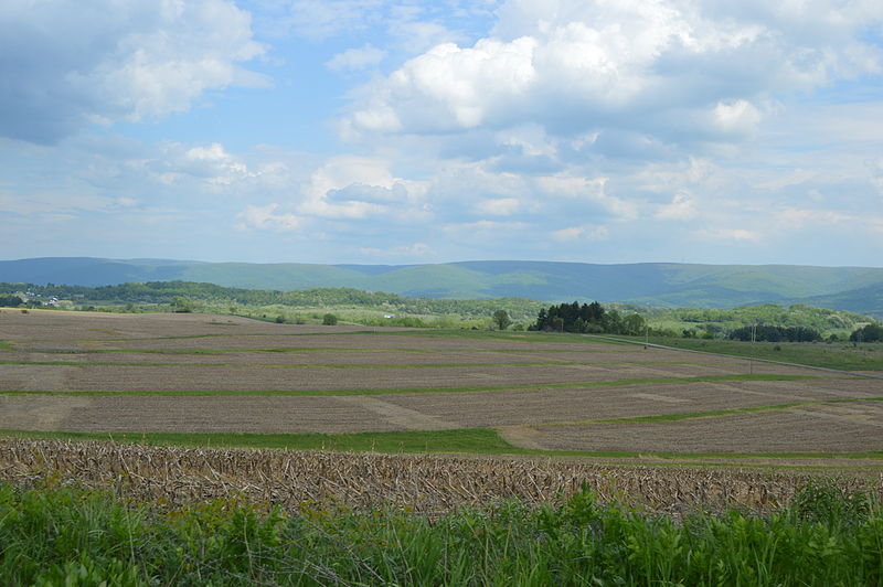
English: Overview of fields and wooded hills (the western side of
Chestnut Ridge), seen looking east from Smithfield Highhouse Road just east of
Shoaf in
Georges Township,
Fayette County,
Pennsylvania,
United States. |
||
| Date | Taken on 15 May 2015 | ||
| Source | Own work | ||
| Author | Nyttend | ||
| Permission ( Reusing this file) |
|
File history
Click on a date/time to view the file as it appeared at that time.
| Date/Time | Thumbnail | Dimensions | User | Comment | |
|---|---|---|---|---|---|
| current | 17:42, 21 May 2015 |
| 6,016 × 4,000 (6.51 MB) | Nyttend | {{Location|39|50|10|N|79|47|59|W}} {{Information |Description={{en|Overview of fields and wooded hills, seen looking east from Smithfield Highhouse Road just east of {{w|Shoaf, Pennsylvania|Shoaf}} in {{w|Georges Township, Fayette County, Pennsylvania|... |
File usage
The following pages on the English Wikipedia use this file (pages on other projects are not listed):
Global file usage
The following other wikis use this file:
- Usage on cy.wikipedia.org
- Usage on es.wikipedia.org
- Usage on fr.wikipedia.org
- Usage on uk.wikipedia.org
- Usage on vi.wikipedia.org
- Usage on www.wikidata.org