No higher resolution available.
Denver-Aurora_Metropolitan_Area.png (569 × 414 pixels, file size: 25 KB, MIME type: image/png)
| This is a file from the
Wikimedia Commons. Information from its
description page there is shown below. Commons is a freely licensed media file repository. You can help. |
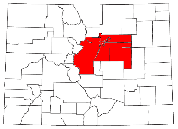
| Description | Locator map of the Denver-Aurora Metropolitan Statistical Area in the central part of the U.S. state of Colorado. | ||
| Date | |||
| Source | Modified from this United States Census Bureau file. | ||
| Author | User:Nyttend | ||
| Permission ( Reusing this file) |
US Government work is public domain, and my work is
|
File history
Click on a date/time to view the file as it appeared at that time.
| Date/Time | Thumbnail | Dimensions | User | Comment | |
|---|---|---|---|---|---|
| current | 21:34, 26 July 2008 |
| 569 × 414 (25 KB) | Nyttend | {{Information |Description=Locator map of the {{w|Denver-Aurora Metropolitan Area|Denver-Aurora Metropolitan Statistical Area}} in the central part of the {{w|U.S. state}} of {{w|Colorado}}. |Source=Modified from [http://www2.census.gov/geo/maps/general_r |
File usage
No pages on the English Wikipedia use this file (pages on other projects are not listed).
Global file usage
The following other wikis use this file:
- Usage on fi.wikipedia.org
- Usage on it.wikipedia.org
- Usage on zh.wikipedia.org