Size of this preview:
800 × 493 pixels. Other resolutions:
320 × 197 pixels |
640 × 395 pixels |
1,024 × 632 pixels |
1,280 × 790 pixels |
2,560 × 1,579 pixels |
5,974 × 3,685 pixels.
Original file (5,974 × 3,685 pixels, file size: 2.67 MB, MIME type: image/jpeg)
| This is a file from the
Wikimedia Commons. Information from its
description page there is shown below. Commons is a freely licensed media file repository. You can help. |
.jpg)
Summary
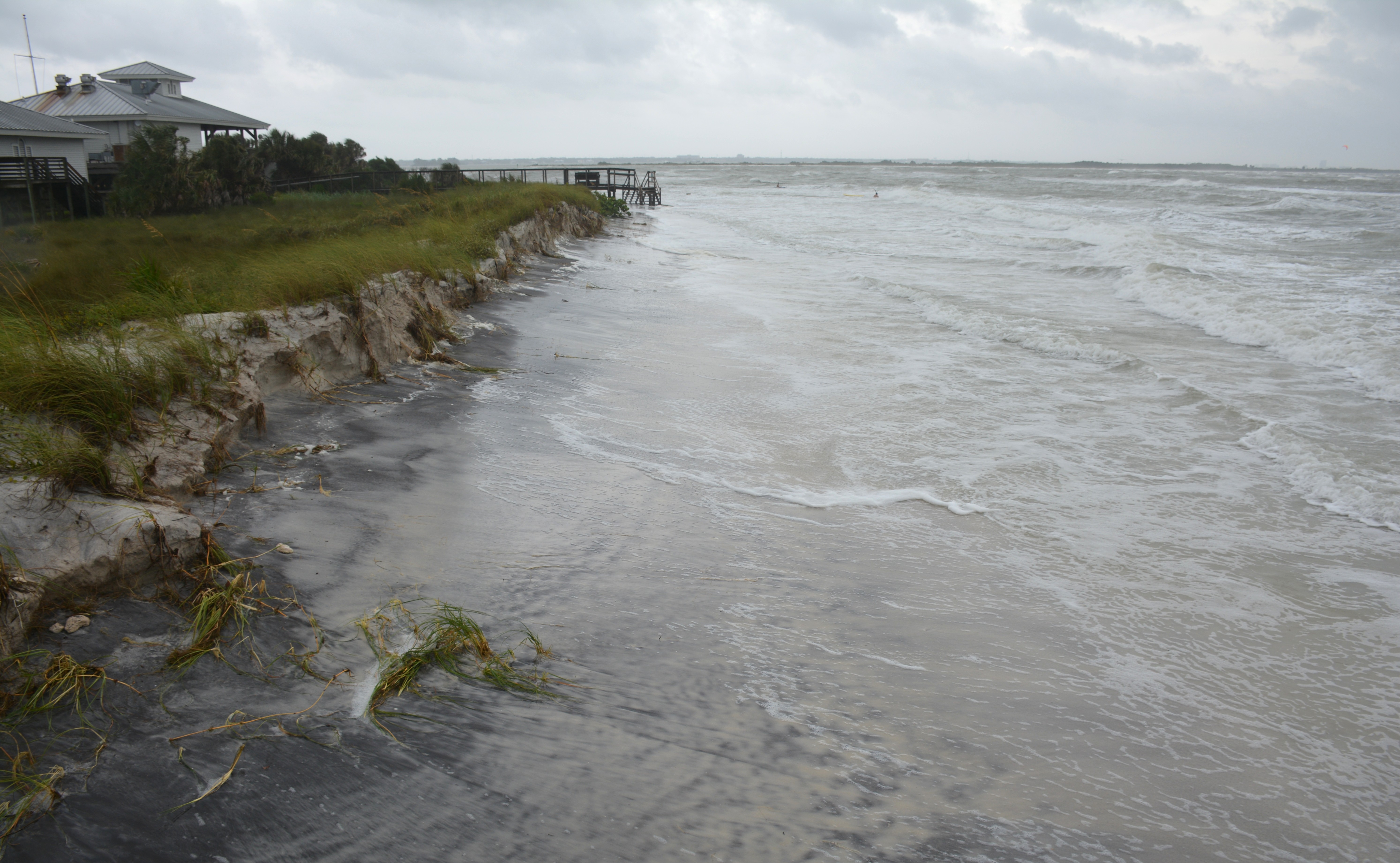
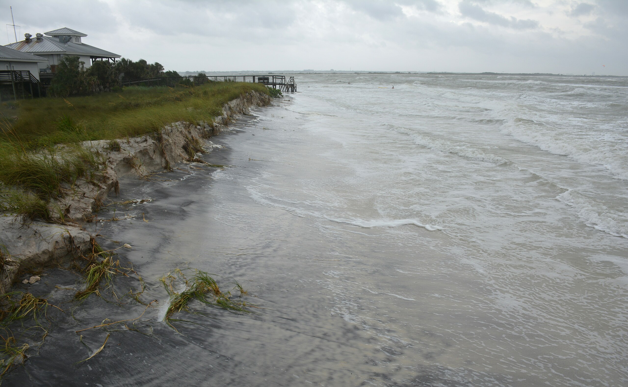
| Description | Hurricane Michael's weather effects here on Florida's Suncoast as seen from Honeymoon Island State Park beach the location for many of my bikini model photo shoots. |
| Date | |
| Source | DSC_5187_pp |
| Author | Walter from Tampa/St Petersburg, Florida |
| Camera location |
| View this and other nearby images on: OpenStreetMap |
|
|---|
.jpg¶ms=028.064406_N_-082.830562_E_globe:Earth_type:camera_source:Flickr_&language=en)
Licensing
This file is licensed under the
Creative Commons
Attribution 2.0 Generic license.
- You are free:
- to share – to copy, distribute and transmit the work
- to remix – to adapt the work
- Under the following conditions:
- attribution – You must give appropriate credit, provide a link to the license, and indicate if changes were made. You may do so in any reasonable manner, but not in any way that suggests the licensor endorses you or your use.
| This image was originally posted to Flickr by WalterPro at https://flickr.com/photos/69094753@N05/30297833557 ( archive). It was reviewed on 11 October 2018 by FlickreviewR 2 and was confirmed to be licensed under the terms of the cc-by-2.0. |
File history
Click on a date/time to view the file as it appeared at that time.
| Date/Time | Thumbnail | Dimensions | User | Comment | |
|---|---|---|---|---|---|
| current | 03:41, 11 October 2018 |
| 5,974 × 3,685 (2.67 MB) | A1Cafel | Transferred from Flickr via #flickr2commons |
File usage
The following pages on the English Wikipedia use this file (pages on other projects are not listed):
.jpg)