
Original file (3,264 × 2,448 pixels, file size: 2.57 MB, MIME type: image/jpeg)
| This is a file from the
Wikimedia Commons. Information from its
description page there is shown below. Commons is a freely licensed media file repository. You can help. |
Summary
| Description |
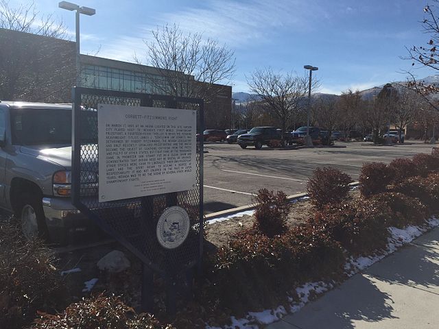
English: CORBETT-FITZSIMMONS FIGHT
On March 17, 1897, at an arena located on this site, Carson City played host to Nevada’s first World Championship prizefight, a fourteen-round thriller in which the reigning heavyweight titlist, James J. “Gentleman Jim” Corbett, was dethroned by Robert Fitzsimmons. The Nevada Legislature had only recently legalized prizefighting and the match became the object of scathing criticism from the press and pulpit of other states, but fight fans arrived by the thousands. Promoter Dan Stuart put on a clean show and demonstrated that boxing need not be brutal or crooked. Other states were soon to liberalize their own prizefight laws and the sport began to assume a degree of respectability it had not enjoyed in the past. In later years, Nevada was to be the scene of several other World Championship fights. STATE HISTORIC MARKER NO. 243 STATE HISTORIC PRESERVATION OFFICE NEVADA LANDMARKS SOCIETY NEVADA STATE DIVISION OF ARCHIVES |
| Date | |
| Source | Own work |
| Author | Fleaghar |
| Camera location | | View this and other nearby images on: OpenStreetMap |
|
|---|
Licensing
- You are free:
- to share – to copy, distribute and transmit the work
- to remix – to adapt the work
- Under the following conditions:
- attribution – You must give appropriate credit, provide a link to the license, and indicate if changes were made. You may do so in any reasonable manner, but not in any way that suggests the licensor endorses you or your use.
- share alike – If you remix, transform, or build upon the material, you must distribute your contributions under the same or compatible license as the original.
File history
Click on a date/time to view the file as it appeared at that time.
| Date/Time | Thumbnail | Dimensions | User | Comment | |
|---|---|---|---|---|---|
| current | 23:59, 11 February 2016 |
| 3,264 × 2,448 (2.57 MB) | Fleaghar | Cross-wiki upload from en.wikipedia.org |