
Size of this PNG preview of this SVG file:
587 × 459 pixels. Other resolutions:
307 × 240 pixels |
614 × 480 pixels |
982 × 768 pixels |
1,280 × 1,001 pixels |
2,560 × 2,002 pixels.
Original file (SVG file, nominally 587 × 459 pixels, file size: 229 KB)
| This is a file from the
Wikimedia Commons. Information from its
description page there is shown below. Commons is a freely licensed media file repository. You can help. |
| Description |
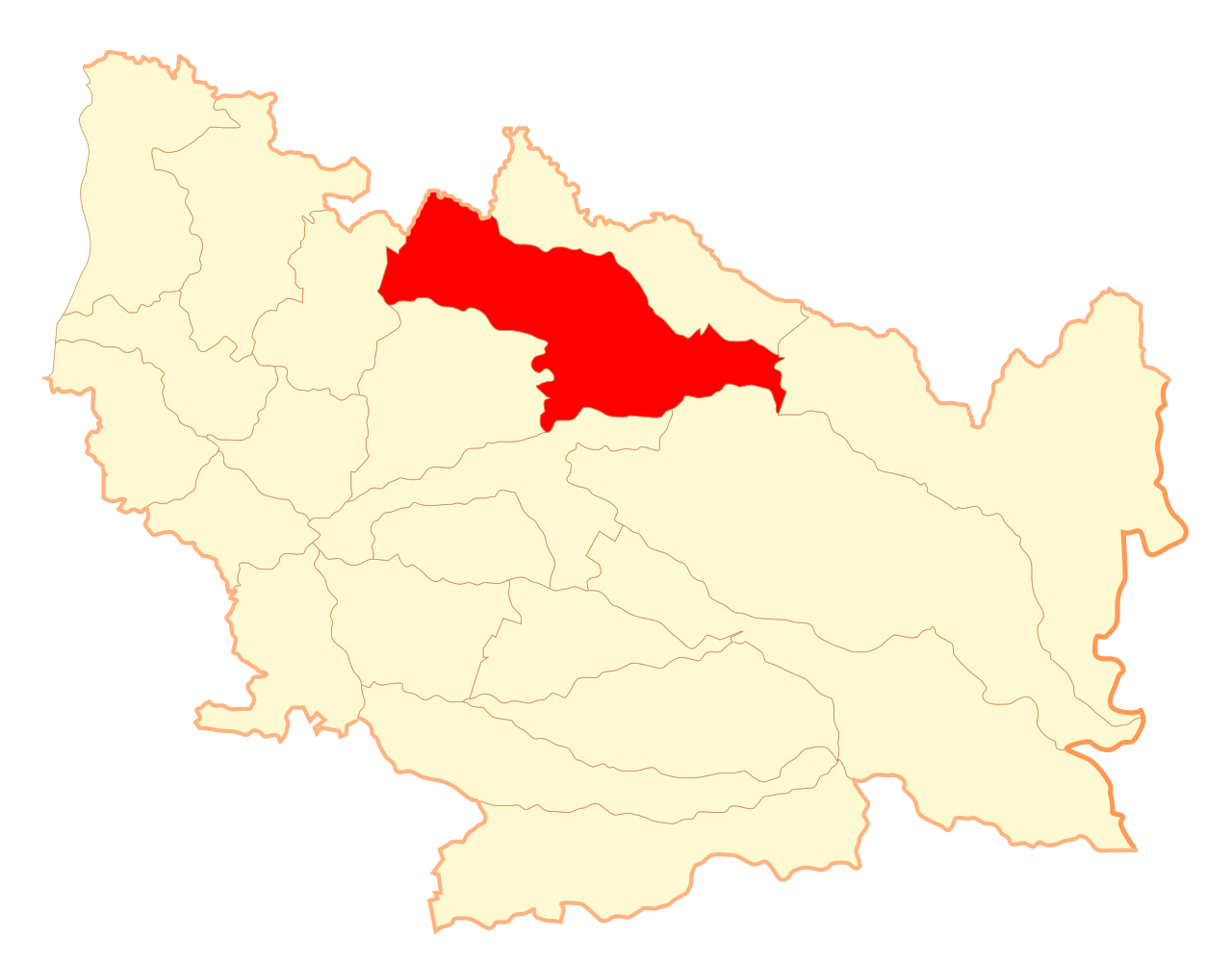
Español: Mapa de la comuna de
San Carlos,
Región de Ñuble |
| Date | |
| Source | Own work |
| Author | B1mbo |
| Permission ( Reusing this file) |
I, the copyright holder of this work, hereby publish it under the following license: This file is licensed under the
Creative Commons
Attribution-Share Alike 2.5 Generic license.
|
File history
Click on a date/time to view the file as it appeared at that time.
| Date/Time | Thumbnail | Dimensions | User | Comment | |
|---|---|---|---|---|---|
| current | 00:44, 6 September 2018 |
| 587 × 459 (229 KB) | Janitoalevic | Reverted to version as of 15:00, 20 August 2017 (UTC) |
| 23:19, 20 August 2017 |
 | 800 × 850 (616 KB) | Janitoalevic | Reverted to version as of 07:00, 26 September 2007 (UTC) | |
| 15:00, 20 August 2017 |
 | 587 × 459 (229 KB) | Janitoalevic | New borders. | |
| 07:00, 26 September 2007 |
 | 800 × 850 (616 KB) | B1mbo | {{Information |Description={{es|Mapa de la comuna de San Carlos, VIII Región del Biobío}} |Source=own work |Date=26 de septiembre, 2007 |Author= B1mbo |Permission= |other_versions= }} [[Category:SVG map |
File usage
The following pages on the English Wikipedia use this file (pages on other projects are not listed):
Global file usage
The following other wikis use this file:
- Usage on ang.wikipedia.org
- Usage on ast.wikipedia.org
- Usage on br.wikipedia.org
- Usage on es.wikipedia.org
- Usage on eu.wikipedia.org
- Usage on fa.wikipedia.org
- Usage on fr.wikipedia.org
- Usage on ko.wikipedia.org
- Usage on nl.wikipedia.org
- Usage on pt.wikipedia.org
- Usage on ru.wikipedia.org
- Usage on www.wikidata.org
- Usage on zh-min-nan.wikipedia.org
- Usage on zh.wikipedia.org