
Size of this PNG preview of this SVG file:
800 × 580 pixels. Other resolutions:
320 × 232 pixels |
640 × 464 pixels |
1,024 × 742 pixels |
1,280 × 928 pixels |
2,560 × 1,856 pixels |
829 × 601 pixels.
Original file (SVG file, nominally 829 × 601 pixels, file size: 197 KB)
| This is a file from the
Wikimedia Commons. Information from its
description page there is shown below. Commons is a freely licensed media file repository. You can help. |
Summary
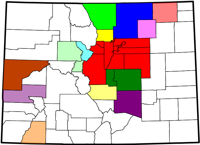
| Description | A county map of the United States Census Bureau statistical areas in the State of Colorado |
| Date | |
| Source | Derived from the National Atlas of the United States as converted by David Benbennick (CC) and adapted by Buaidh |
| Author | Buaidh |
| Permission ( Reusing this file) |
This file is licensed under the
Creative Commons
Attribution 2.0 Generic license.
|
| Other versions | File:Map_of_Colorado_counties,_blank.svg |
Licensing
| I, the copyright holder of this work, release this work into the
public domain. This applies worldwide. In some countries this may not be legally possible; if so: I grant anyone the right to use this work for any purpose, without any conditions, unless such conditions are required by law. |
File history
Click on a date/time to view the file as it appeared at that time.
| Date/Time | Thumbnail | Dimensions | User | Comment | |
|---|---|---|---|---|---|
| current | 01:22, 12 December 2007 |
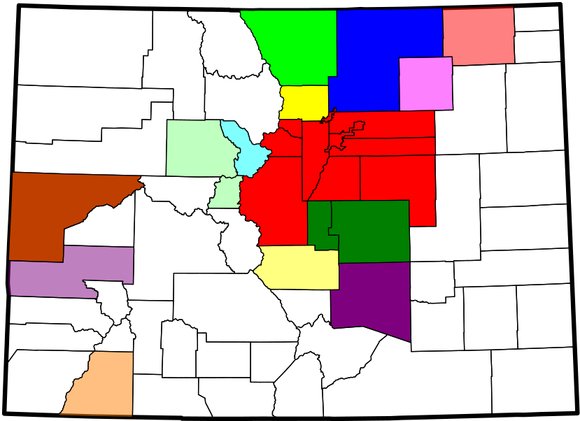
| 829 × 601 (197 KB) | Buaidh | == Summary == {{Information |Description=A county map of the Front Range Urban Corridor of Colorado and Wyoming, United States |title=Map of the Front Range Urban Corridor |Source=Derived from the National Atlas of the United States as converted by David |
| 22:28, 10 December 2007 |
 | 906 × 657 (197 KB) | Buaidh | {{Information |Description=A county map of the United States Census Bureau statistical areas in the State of Colorado |title=Map of the Colorado census statistical Areas |Source=Derived from the National Atlas of the United States as converted by David Be |
File usage
The following pages on the English Wikipedia use this file (pages on other projects are not listed):
Global file usage
The following other wikis use this file:
- Usage on ja.wikipedia.org