
Size of this PNG preview of this SVG file:
530 × 600 pixels. Other resolutions:
212 × 240 pixels |
424 × 480 pixels |
679 × 768 pixels |
905 × 1,024 pixels |
1,810 × 2,048 pixels |
2,027 × 2,294 pixels.
Original file (SVG file, nominally 2,027 × 2,294 pixels, file size: 1.69 MB)
| This is a file from the
Wikimedia Commons. Information from its
description page there is shown below. Commons is a freely licensed media file repository. You can help. |
Summary
| Description |
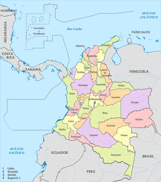
Español: Mapa de las divisiones administrativas de Colombia |
| Date | |
| Source | Own work |
| Author | Milenioscuro |
Licensing
I, the copyright holder of this work, hereby publish it under the following license:
This file is licensed under the
Creative Commons
Attribution-Share Alike 4.0 International license.
- You are free:
- to share – to copy, distribute and transmit the work
- to remix – to adapt the work
- Under the following conditions:
- attribution – You must give appropriate credit, provide a link to the license, and indicate if changes were made. You may do so in any reasonable manner, but not in any way that suggests the licensor endorses you or your use.
- share alike – If you remix, transform, or build upon the material, you must distribute your contributions under the same or compatible license as the original.
File history
Click on a date/time to view the file as it appeared at that time.
| Date/Time | Thumbnail | Dimensions | User | Comment | |
|---|---|---|---|---|---|
| current | 00:42, 30 October 2016 |
| 2,027 × 2,294 (1.69 MB) | Milenioscuro | font |
| 03:07, 11 November 2015 |
 | 2,027 × 2,294 (986 KB) | Milenioscuro | User created page with UploadWizard |
File usage
The following pages on the English Wikipedia use this file (pages on other projects are not listed):
Global file usage
The following other wikis use this file:
- Usage on ar.wikipedia.org
- Usage on az.wikipedia.org
- Usage on el.wikipedia.org
- Usage on es.wikipedia.org
- Usage on fr.wikipedia.org
- Usage on fr.wikivoyage.org
- Usage on it.wikipedia.org
- Usage on pcd.wikipedia.org
- Usage on pnb.wikipedia.org
- ایمازوناس ڈیپارٹمنٹ
- انٹیوکوئیا ڈیپارٹمنٹ
- آراؤکا ڈیپارٹمنٹ
- اٹلانٹیکو ڈیپارٹمنٹ
- بویاکا ڈیپارٹمنٹ
- بولیوار ڈیپارٹمنٹ
- کلداس ڈیپارٹمنٹ
- کاکیوتا ڈیپارٹمنٹ
- کاسانارے ڈیپارٹمنٹ
- کاؤکا ڈیپارٹمنٹ
- کیسار ڈیپارٹمنٹ
- چوکو ڈیپارٹمنٹ
- کاردوبا ڈیپارٹمنٹ
- کندینامارکا ڈیپارٹمنٹ
- گینیا ڈیپارٹمنٹ
- گواویارے ڈیپارٹمنٹ
- ہولا ڈیپارٹمنٹ
- لیتیکیا
- لاگوجیرا ڈیپارٹمنٹ
- میڈیلن
- آراؤکا
- بارانکولا
- کارتاجینا
- تنجا
- منیزالس
- فلورنسیا
- یوپال
- پوپایان
- ویلیدوپار
- کوبدو
- مونتیریا
- اینیردا
- مگدالینا ڈیپارٹمنٹ
- میتا ڈیپارٹمنٹ
View more global usage of this file.