Size of this preview:
800 × 450 pixels. Other resolutions:
320 × 180 pixels |
640 × 360 pixels |
1,024 × 576 pixels |
1,280 × 720 pixels |
2,560 × 1,440 pixels |
5,312 × 2,988 pixels.
Original file (5,312 × 2,988 pixels, file size: 8.75 MB, MIME type: image/jpeg)
| This is a file from the
Wikimedia Commons. Information from its
description page there is shown below. Commons is a freely licensed media file repository. You can help. |
Summary
| Description |
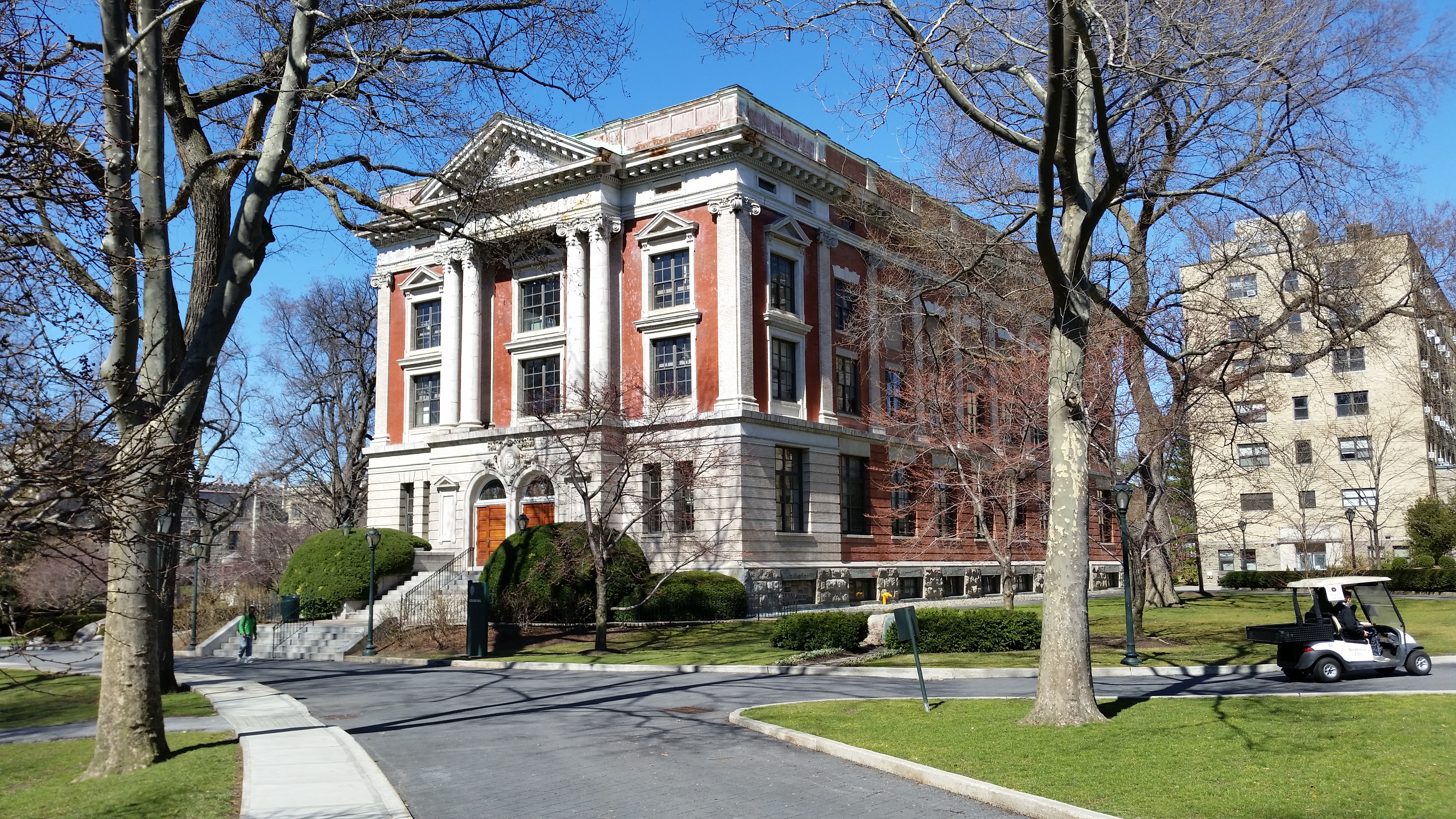
English: Collins Hall at Rose Hill, Fordham |
| Date | |
| Source | Transferred from en.wikipedia to Commons. |
| Author | Indefatigable2 |
Licensing
Indefatigable2 at
English Wikipedia, the copyright holder of this work, hereby publishes it under the following licenses:

|
Permission is granted to copy, distribute and/or modify this document under the terms of the GNU Free Documentation License, Version 1.2 or any later version published by the Free Software Foundation; with no Invariant Sections, no Front-Cover Texts, and no Back-Cover Texts. A copy of the license is included in the section entitled GNU Free Documentation License. |
This file is licensed under the
Creative Commons
Attribution-Share Alike 4.0 International license.
Attribution:
Indefatigable2 at
English Wikipedia
- You are free:
- to share – to copy, distribute and transmit the work
- to remix – to adapt the work
- Under the following conditions:
- attribution – You must give appropriate credit, provide a link to the license, and indicate if changes were made. You may do so in any reasonable manner, but not in any way that suggests the licensor endorses you or your use.
- share alike – If you remix, transform, or build upon the material, you must distribute your contributions under the same or compatible license as the original.
You may select the license of your choice.
Original upload log
The original description page was
here. All following user names refer to en.wikipedia.
- 2017-03-29 19:49 Indefatigable2 5312×2988× (9177306 bytes)
- 2017-03-29 19:44 Indefatigable2 5312×2988× (9240410 bytes)
- 2017-03-29 07:13 Indefatigable2 5312×2988× (7014377 bytes) Uploading a self-made file using [[Wikipedia:File_Upload_Wizard|File Upload Wizard]]
| Camera location |
| View this and other nearby images on: OpenStreetMap |
|
|---|
File history
Click on a date/time to view the file as it appeared at that time.
| Date/Time | Thumbnail | Dimensions | User | Comment | |
|---|---|---|---|---|---|
| current | 23:04, 4 August 2017 |
| 5,312 × 2,988 (8.75 MB) | OgreBot | (BOT): Reverting to most recent version before archival |
| 23:04, 4 August 2017 |
 | 5,312 × 2,988 (8.81 MB) | OgreBot | (BOT): Uploading old version of file from en.wikipedia; originally uploaded on 2017-03-29 19:44:41 by Indefatigable2 | |
| 23:04, 4 August 2017 |
 | 5,312 × 2,988 (6.69 MB) | OgreBot | (BOT): Uploading old version of file from en.wikipedia; originally uploaded on 2017-03-29 07:13:20 by Indefatigable2 | |
| 23:15, 8 April 2017 |
 | 5,312 × 2,988 (8.75 MB) | Drown Soda | User created page with UploadWizard |
File usage
The following pages on the English Wikipedia use this file (pages on other projects are not listed):