
Size of this preview:
800 × 590 pixels. Other resolutions:
320 × 236 pixels |
640 × 472 pixels |
1,024 × 756 pixels |
1,280 × 944 pixels |
2,560 × 1,889 pixels |
4,166 × 3,074 pixels.
Original file (4,166 × 3,074 pixels, file size: 1.51 MB, MIME type: image/jpeg)
| This is a file from the
Wikimedia Commons. Information from its
description page there is shown below. Commons is a freely licensed media file repository. You can help. |
Summary
| Description |
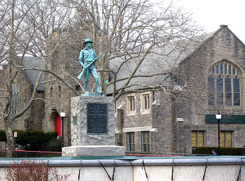
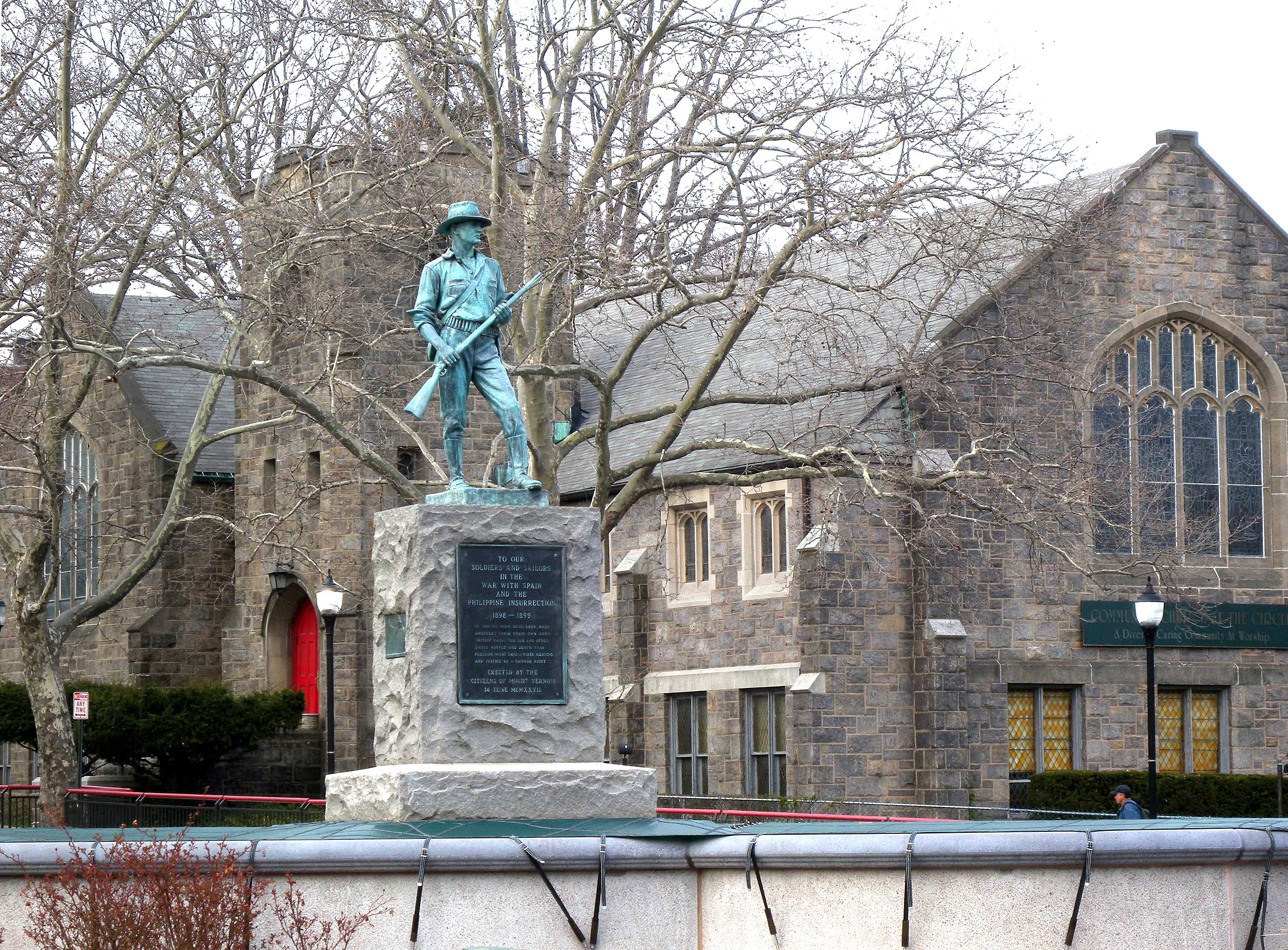
English: Looking northeast at statue and Community Church of the Circle in Mt Vernon on a cloudy afternoon |
| Date | Taken on 2 April 2009 |
| Source | Own work |
| Author | Jim.henderson |
| Camera location | | View this and other nearby images on: OpenStreetMap |
|
|---|
Licensing
| I, the copyright holder of this work, release this work into the
public domain. This applies worldwide. In some countries this may not be legally possible; if so: I grant anyone the right to use this work for any purpose, without any conditions, unless such conditions are required by law. |
File history
Click on a date/time to view the file as it appeared at that time.
| Date/Time | Thumbnail | Dimensions | User | Comment | |
|---|---|---|---|---|---|
| current | 03:18, 27 April 2009 |
| 4,166 × 3,074 (1.51 MB) | Jim.henderson | {{Information |Description={{en|1=Looking northeast at statue and Community Church of the Circle in Mt Vernon on a cloudy afternoon}} |Source=Own work by uploader |Author= Jim.henderson |Date=2009-04-02 |Permission= |other_versions= |
File usage
The following pages on the English Wikipedia use this file (pages on other projects are not listed):
Global file usage
The following other wikis use this file:
- Usage on es.wikipedia.org
- Usage on fr.wikipedia.org
- Usage on ja.wikipedia.org
- Usage on ko.wikipedia.org
- Usage on ru.wikipedia.org
- Usage on simple.wikipedia.org