
Size of this preview:
800 × 600 pixels. Other resolutions:
320 × 240 pixels |
640 × 480 pixels |
1,024 × 768 pixels |
1,280 × 960 pixels |
2,560 × 1,920 pixels |
3,224 × 2,418 pixels.
Original file (3,224 × 2,418 pixels, file size: 2.5 MB, MIME type: image/jpeg)
| This is a file from the
Wikimedia Commons. Information from its
description page there is shown below. Commons is a freely licensed media file repository. You can help. |
|
This is an image of a place or building that is listed on the
National Register of Historic Places in the
United States of America. Its reference number is
84002733. |
Summary
| Description |
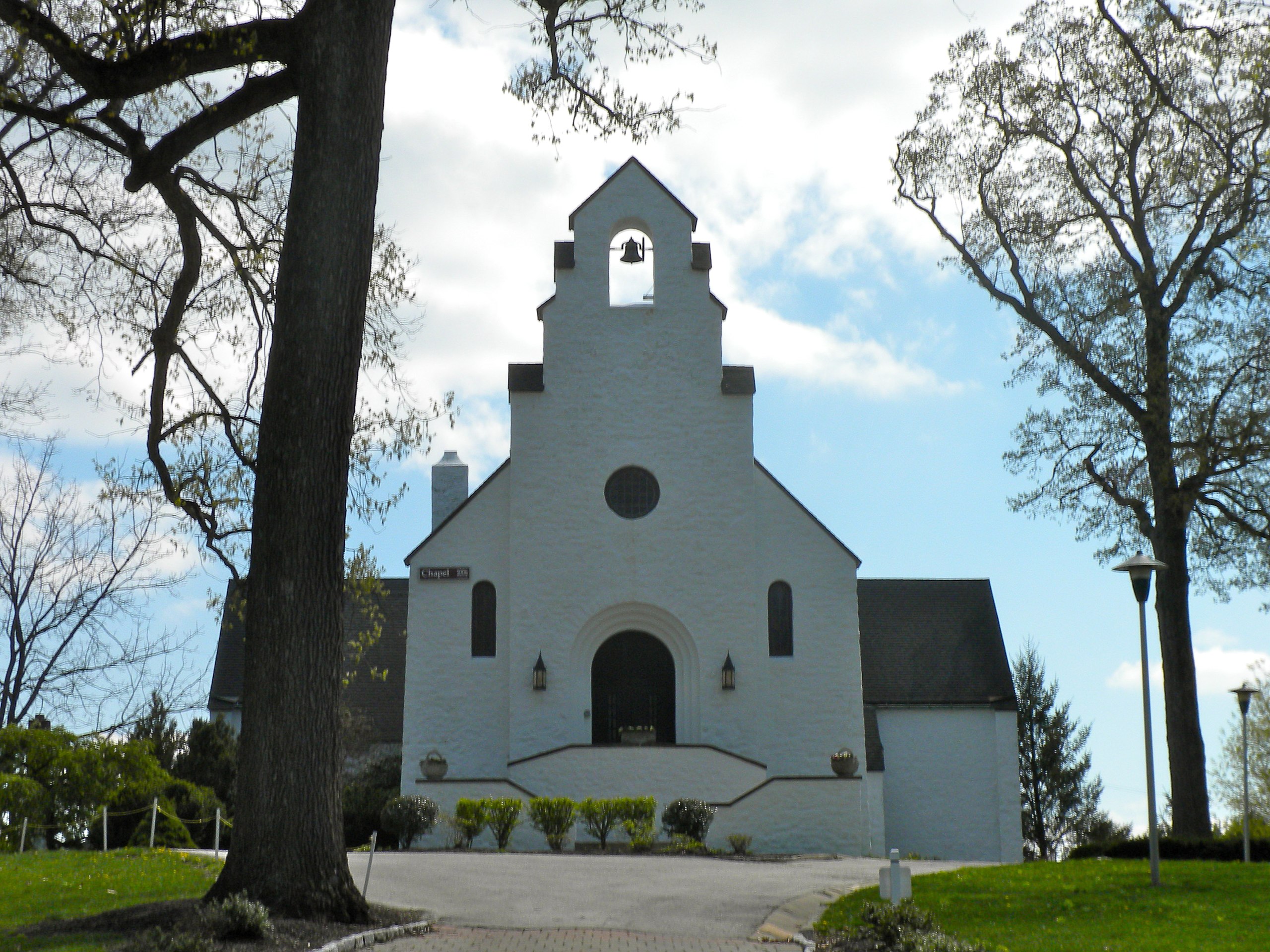
English: Church Farm School Historic District on NRHP since October 26, 1984. On U.S. Route 30 in West Whiteland Township, Chester County, PA (between Malvern and Exton). Now a private school |
| Date | |
| Source | Own work |
| Author | Smallbones |
| Camera location |
| View this and other nearby images on: OpenStreetMap |
|
|---|
Licensing
| I, the copyright holder of this work, release this work into the
public domain. This applies worldwide. In some countries this may not be legally possible; if so: I grant anyone the right to use this work for any purpose, without any conditions, unless such conditions are required by law. |
File history
Click on a date/time to view the file as it appeared at that time.
| Date/Time | Thumbnail | Dimensions | User | Comment | |
|---|---|---|---|---|---|
| current | 20:33, 9 April 2010 |
| 3,224 × 2,418 (2.5 MB) | Smallbones | {{Information |Description={{en|1=Church Farm School Historic District on NRHP since October 26, 1984. On U.S. Route 30 in West Whiteland Township, Chester County, PA (between Malvern and Exton). Now a private school}} |Source=Own work |Author=[[User:Sma |
File usage
The following pages on the English Wikipedia use this file (pages on other projects are not listed):
Global file usage
The following other wikis use this file:
- Usage on www.wikidata.org