
Size of this PNG preview of this SVG file:
576 × 599 pixels. Other resolutions:
231 × 240 pixels |
461 × 480 pixels |
738 × 768 pixels |
984 × 1,024 pixels |
1,968 × 2,048 pixels |
1,720 × 1,790 pixels.
Original file (SVG file, nominally 1,720 × 1,790 pixels, file size: 2.17 MB)
| This is a file from the
Wikimedia Commons. Information from its
description page there is shown below. Commons is a freely licensed media file repository. You can help. |
Summary
| Camera location |
| View this and other nearby images on: OpenStreetMap |
|
|---|
| Description |
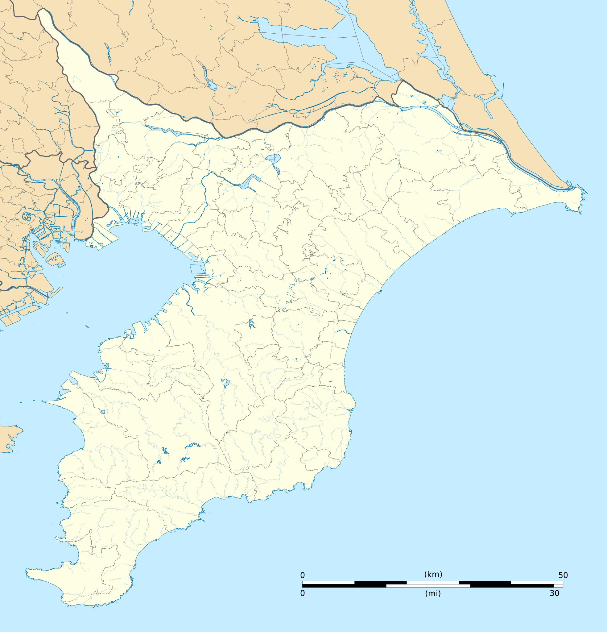
Deutsch: Karte der
Präfektur Chiba.
English: Blank map of the
Chiba Prefecture, for geolocalisation purpose.
Español: Mapa de la
Prefectura de Chiba.
Italiano: Mappa della
Prefettura di Chiba.
日本語:
千葉県の地図.
Bahasa Melayu: Peta kosong
Wilayah Chiba, untuk tujuan geolokalisasi.
Português: Carta de la província de
Chiba.
|
||
| Date | (UTC) | ||
| Source |
Création personnelle ;
|
||
| Author | © Bourrichon ( talk) - fr:Bourrichon | ||
| Permission ( Reusing this file) |
|
||
| Other versions | File:Chiba-ken géolocalisation relief.svg |
This W3C-unspecified
vector image was created with
Inkscape .
Licensing
I, the copyright holder of this work, hereby publish it under the following license:
This file is licensed under the
Creative Commons
Attribution-Share Alike 2.0 France license.
Attribution:
Bourrichon (
atelier graphique)
- You are free:
- to share – to copy, distribute and transmit the work
- to remix – to adapt the work
- Under the following conditions:
- attribution – You must give appropriate credit, provide a link to the license, and indicate if changes were made. You may do so in any reasonable manner, but not in any way that suggests the licensor endorses you or your use.
- share alike – If you remix, transform, or build upon the material, you must distribute your contributions under the same or compatible license as the original.

File history
Click on a date/time to view the file as it appeared at that time.
| Date/Time | Thumbnail | Dimensions | User | Comment | |
|---|---|---|---|---|---|
| current | 15:55, 10 July 2013 |
| 1,720 × 1,790 (2.17 MB) | Bourrichon | == {{int:filedesc}} == {{Location|35|00|00|N|140|00|00|E|scale:10000}} {{Information |Description= {{fr|Carte vierge de la fr:Préfecture de Chiba, au Japon, destinée à la géolocalisation.}} {{de|Karte der [[:de:Präfektur Chib... |
File usage
More than 100 pages use this file. The following list shows the first 100 pages that use this file only. A full list is available.
- Abiko Station (Chiba)
- Ajiki Station
- Akiyama Station
- Anegasaki Station
- Awa-Kamogawa Station
- Baraki-nakayama Station
- Chiba Station
- Chiba University
- Chōshi Station
- Daijingūshita Station
- Funabashi Station
- Funabashihōten Station
- Funabashikeibajō Station
- Goi Station
- Gyōtoku Station
- Hamano Station
- Hatsutomi Station
- Higashi-Funabashi Station
- Higashi-Kaijin Station
- Higashi-Matsudo Station
- Higashi-Nakayama Station
- Higashi-Narita Station
- Hon-Chiba Station
- Ichikawa Station
- Ichikawamama Station
- Ichikawashiohama Station
- Ichikawaōno Station
- Inage Station
- Kaijin Station
- Kamagaya-Daibutsu Station
- Kamagaya Great Buddha
- Kashiwa
- Kashiwa-Tanaka Station
- Kashiwa Station
- Kashiwanoha-campus Station
- Katori Station
- Katsutadai Station
- Kazusa-Azuma Station
- Keisei-Nishifuna Station
- Keisei-Usui Station
- Keisei Funabashi Station
- Keisei Nakayama Station
- Keisei Narita Station
- Keisei Sakura Station
- Keisei Shisui Station
- Keisei Tsudanuma Station
- Keisei Yawata Station
- Keisei Ōkubo Station
- Keisei Ōwada Station
- Kioroshi Station
- Kisarazu Station
- Kita-Kashiwa Station
- Kita-Kogane Station
- Kita-Kokubun Station
- Kita-Matsudo Station
- Kuniyoshi Station
- Kunugiyama Station
- Kōnodai Station
- Kōzunomori Station
- Mabashi Station
- Makuhari Station
- Makuharihongō Station
- Matsudo Station
- Mimomi Station
- Minami-Gyōtoku Station
- Minami-Kashiwa Station
- Minami-Nagareyama Station
- Moto-Yawata Station
- Myōden Station
- Nagareyama-centralpark Station
- Narita Airport Terminal 1 Station
- Narita Airport Terminal 2·3 Station
- Narita Station
- Nishi-Chiba Station
- Nishi-Ōhara Station
- Nittano Station
- Onigoe Station
- Shibayama-Chiyoda Station
- Shim-Matsudo Station
- Shimōsa-Manzaki Station
- Shimōsa-Nakayama Station
- Shin-Kemigawa Station
- Shin-Urayasu Station
- Shin-Yahashira Station
- Shizu Station (Chiba)
- Soga Station
- Sugano Station
- Sōgosandō Station
- Takanekōdan Station
- Tennōdai Station
- Tsudanuma
- Tsudanuma Station
- Tōyō-Katsutadai Station
- Urayasu Station (Chiba)
- Wadaura Station
- Yachiyodai Station
- Yagiri Station
- Yatsu Station (Chiba)
- Yawatajuku Station
- Yūkarigaoka Station
View more links to this file.
Global file usage
The following other wikis use this file:
- Usage on ar.wikipedia.org
- Usage on ceb.wikipedia.org
- Usage on de.wikipedia.org
- Usage on es.wikipedia.org
- Usage on fa.wikipedia.org
- Usage on fr.wikipedia.org
- Aéroport international de Narita
- Université de Chiba
- Chiba Marine Stadium
- Makuhari Messe
- Université de technologie de Chiba
- Stade Kashiwa
- Château de Sekiyado
- Château de Kururi
- Château de Tateyama
- Château d'Ōtaki (Chiba)
- Gare d'Ichikawa
- Gare de Shimōsa-Nakayama
- Gare de Funabashi
- Gare de Higashi-Funabashi
- Gare de Tsudanuma
- Gare de Makuhari-Hongō
- Gare de Makuhari
- Gare de Shin-Kemigawa
- Gare d'Inage
- Gare de Nishi-Chiba
- Modèle:Géolocalisation/Préfecture de Chiba
- Phare Nojimazaki
- Phare de Sunosaki
- Vélodrome de Chiba
- Gare de Matsudo
- Gare de Shiroi
- Module:Carte/données/préfecture de chiba
- Myōden (métro de Tokyo)
- Baraki-Nakayama (métro de Tokyo)
- Gare de Kashiwa
- Gare d'Abiko
- Gare de Chōshi
- Gare de Maihama
- Gare de Shin-Urayasu
- Gare d'Ichikawa-Shiohama
View more global usage of this file.