
Size of this PNG preview of this SVG file:
519 × 382 pixels. Other resolutions:
320 × 236 pixels |
640 × 471 pixels |
1,024 × 754 pixels |
1,280 × 942 pixels |
2,560 × 1,884 pixels.
Original file (SVG file, nominally 519 × 382 pixels, file size: 188 KB)
| This is a file from the
Wikimedia Commons. Information from its
description page there is shown below. Commons is a freely licensed media file repository. You can help. |
Summary
| Description |
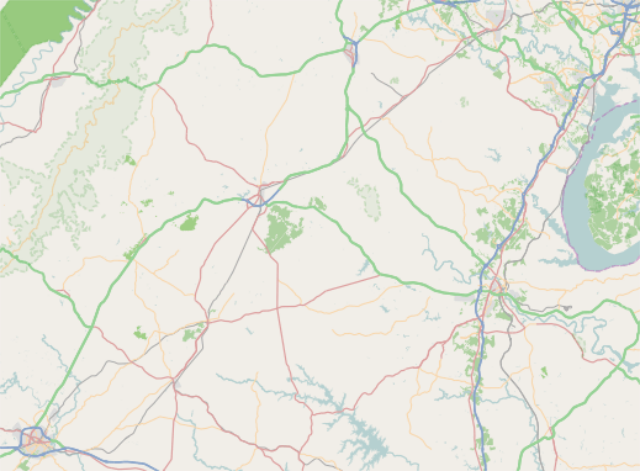
English: From Charlottesville to Merrifield where right=-77.17369, top=38.79577, left=-78.54836, and bottom=38.01828. |
| Date | |
| Source | http://tiles.wmflabs.org/osm/slippymap2.html |
| Author | Open StreetMap Foundation |
| SVG development |

Licensing
|
|
This work contains information from
OpenStreetMap, which is made available under the
Open Database License (ODbL).
The ODbL does not require any particular license for maps produced from ODbL data. Prior to 1 August 2020, map tiles produced by the OpenStreetMap Foundation were licensed under the CC-BY-SA-2.0 license. Maps produced by other people may be subject to other licences. |
File history
Click on a date/time to view the file as it appeared at that time.
| Date/Time | Thumbnail | Dimensions | User | Comment | |
|---|---|---|---|---|---|
| current | 13:38, 23 April 2017 |
| 519 × 382 (188 KB) | Id4abel | User created page with UploadWizard |
File usage
The following pages on the English Wikipedia use this file (pages on other projects are not listed):
Global file usage
The following other wikis use this file: