
Size of this preview:
800 × 600 pixels. Other resolutions:
320 × 240 pixels |
640 × 480 pixels |
1,024 × 768 pixels |
1,280 × 960 pixels |
2,560 × 1,920 pixels |
2,816 × 2,112 pixels.
Original file (2,816 × 2,112 pixels, file size: 2.99 MB, MIME type: image/jpeg)
| This is a file from the
Wikimedia Commons. Information from its
description page there is shown below. Commons is a freely licensed media file repository. You can help. |
|
This is an image of a place or building that is listed on the
National Register of Historic Places in the
United States of America. Its reference number is
5000339. |
| Camera location |
| View this and other nearby images on: OpenStreetMap |
|
|---|
| Description |
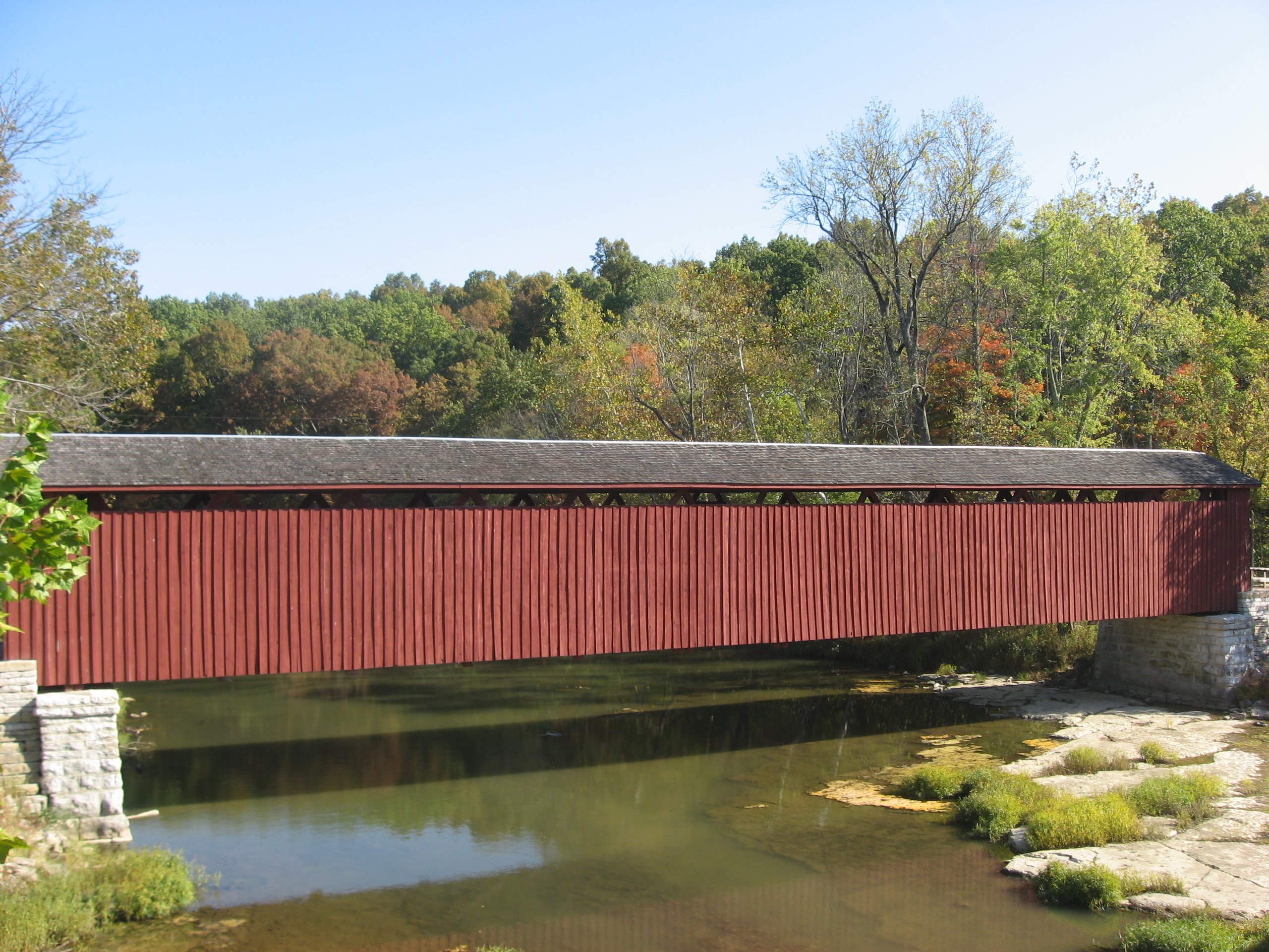
English: Southern (downstream) side of the
Cataract Covered Bridge, which spans the
White River near
Cataract in
Jennings Township,
Owen County,
Indiana,
United States. Built in 1876, it is listed on the
National Register of Historic Places. |
||
| Date | Taken on 6 October 2010 | ||
| Source | Own work | ||
| Author | Nyttend | ||
| Permission ( Reusing this file) |
|
File history
Click on a date/time to view the file as it appeared at that time.
| Date/Time | Thumbnail | Dimensions | User | Comment | |
|---|---|---|---|---|---|
| current | 17:53, 9 October 2010 |
| 2,816 × 2,112 (2.99 MB) | Nyttend | {{Location|39|26|0|N|86|48|48|W}} {{Information |Description={{en|Southern (downstream) side of the {{w|Cataract Covered Bridge}}, which spans the {{w|White River (Indiana)|White River}} near {{w|Cataract, Indiana|Cataract}} in {{w|Jennings Township, Owen |
File usage
The following pages on the English Wikipedia use this file (pages on other projects are not listed):
- Cataract Falls Covered Bridge
- List of Indiana state historical markers in Owen County
- List of bridges in the United States by state
- List of bridges on the National Register of Historic Places in Indiana
- List of covered bridges in Indiana
- National Register of Historic Places listings in Owen County, Indiana
Global file usage
The following other wikis use this file:
- Usage on de.wikipedia.org
- Usage on www.wikidata.org