Size of this preview:
800 × 526 pixels. Other resolutions:
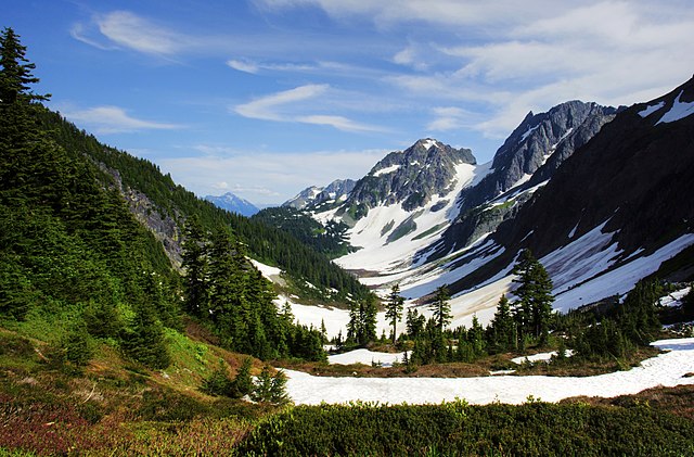
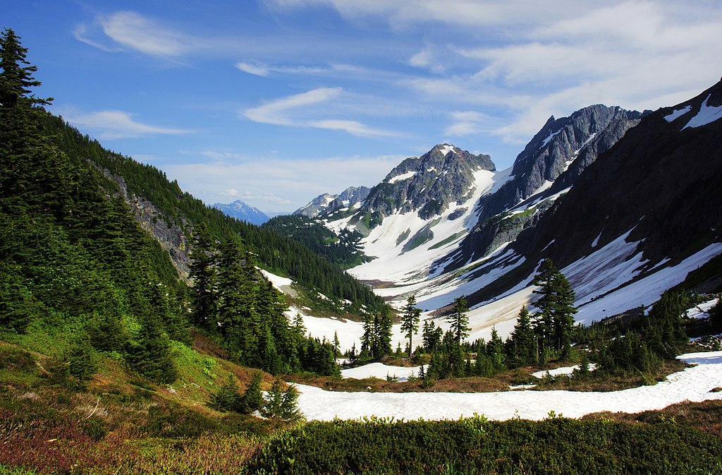
320 × 210 pixels |
640 × 421 pixels |
1,024 × 673 pixels |
1,280 × 842 pixels |
2,560 × 1,683 pixels |
3,678 × 2,418 pixels.
Original file (3,678 × 2,418 pixels, file size: 7.02 MB, MIME type: image/jpeg)
| This is a file from the
Wikimedia Commons. Information from its
description page there is shown below. Commons is a freely licensed media file repository. You can help. |
Summary
| Description |
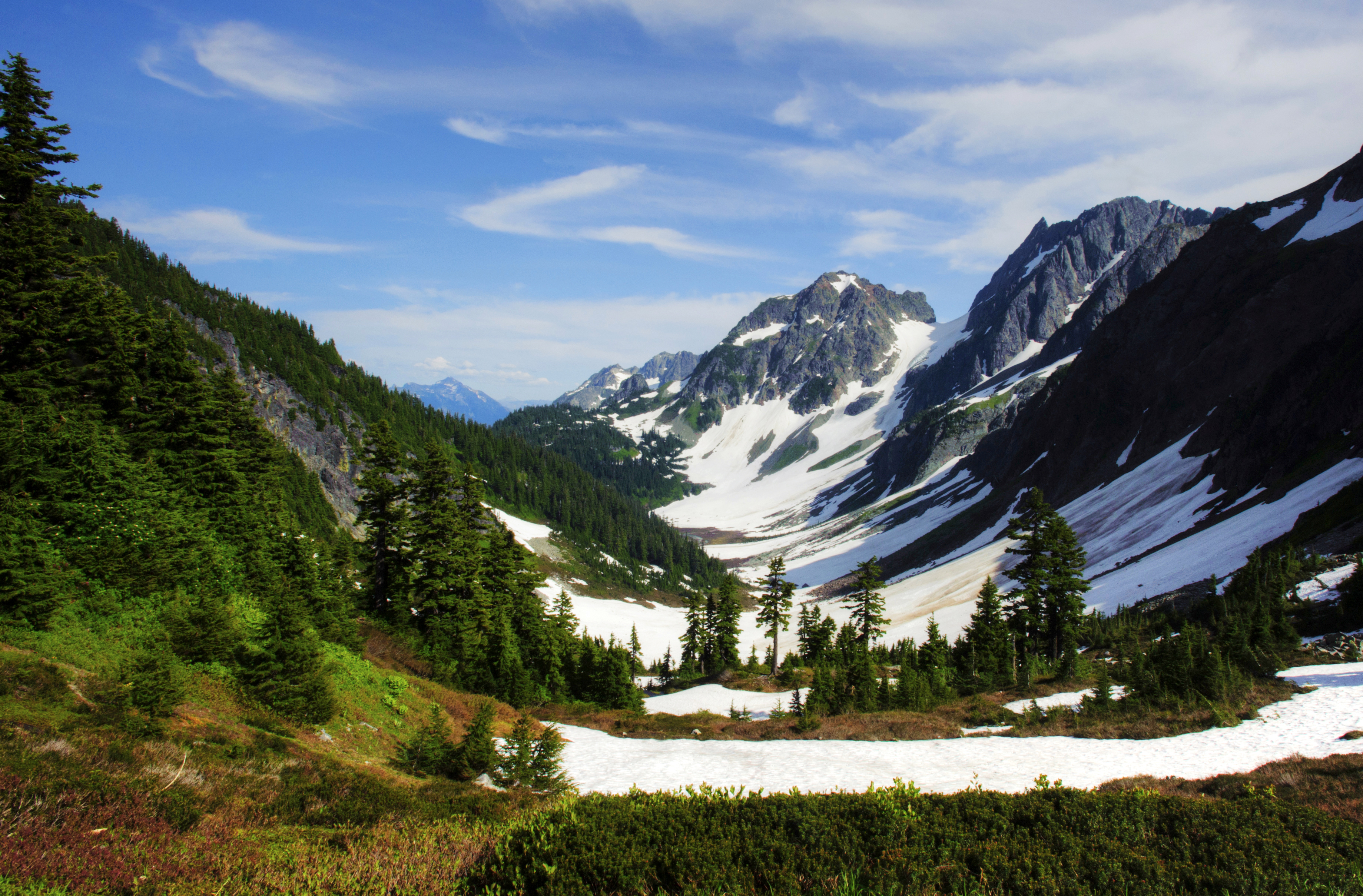
English: Cascade Pass and Pelton Basin |
| Date | Taken on 29 July 2012, 16:34:44 |
| Source | National Park Service public domain [1] |
| Author | National Park Service/Deby Dixon |
| Camera location |
| View this and other nearby images on: OpenStreetMap |
|
|---|
Licensing
| This image or media file contains material based on a work of a National Park Service employee, created as part of that person's official duties. As a work of the U.S. federal government, such work is in the public domain in the United States. See the NPS website and NPS copyright policy for more information. |
| Annotations | This image is annotated: View the annotations at Commons |
File history
Click on a date/time to view the file as it appeared at that time.
| Date/Time | Thumbnail | Dimensions | User | Comment | |
|---|---|---|---|---|---|
| current | 14:54, 18 May 2018 |
| 3,678 × 2,418 (7.02 MB) | MONGO | User created page with UploadWizard |
File usage
The following pages on the English Wikipedia use this file (pages on other projects are not listed):
Global file usage
The following other wikis use this file:
- Usage on ar.wikipedia.org
- Usage on ban.wikipedia.org
- Usage on es.wikipedia.org
- Usage on et.wikipedia.org
- Usage on eu.wikipedia.org
- Usage on ko.wikipedia.org
- Usage on simple.wikipedia.org
- Usage on vi.wikipedia.org