No higher resolution available.
Calle_Lavalle.jpg (500 × 375 pixels, file size: 65 KB, MIME type: image/jpeg)
| This is a file from the
Wikimedia Commons. Information from its
description page there is shown below. Commons is a freely licensed media file repository. You can help. |
Summary
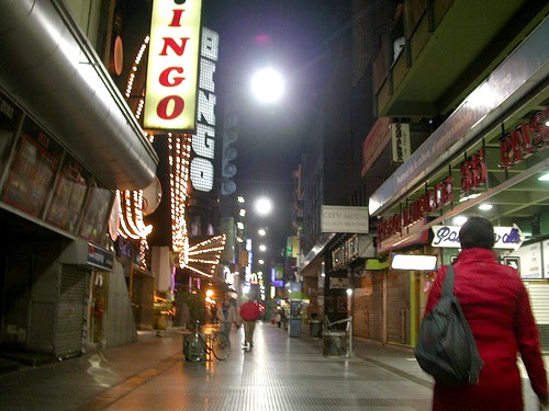
| Description | Calle Lavalle, Buenos Aires |
| Date | |
| Source | https://www.flickr.com/photos/marianamansur/1336273987/ |
| Author | https://www.flickr.com/photos/marianamansur/ |
| Camera location | | View this and other nearby images on: OpenStreetMap |
|
|---|
Licensing
This file is licensed under the
Creative Commons
Attribution 2.0 Generic license.
- You are free:
- to share – to copy, distribute and transmit the work
- to remix – to adapt the work
- Under the following conditions:
- attribution – You must give appropriate credit, provide a link to the license, and indicate if changes were made. You may do so in any reasonable manner, but not in any way that suggests the licensor endorses you or your use.
| This image, originally posted to Flickr, was reviewed on 13:14, 4 November 2007 (UTC) by the administrator or reviewer Boricuaeddie, who confirmed that it was available on Flickr under the stated license on that date. |
|
Argentina has no "freedom of panorama" provision in its copyright law. At least some think there is de facto freedom of panorama in Argentina regarding buildings:
|
File history
Click on a date/time to view the file as it appeared at that time.
| Date/Time | Thumbnail | Dimensions | User | Comment | |
|---|---|---|---|---|---|
| current | 19:30, 3 November 2007 |
| 500 × 375 (65 KB) | Santiago matamoro | {{Information |Description= |Source=http://www.flickr.com/photos/marianamansur/1336273987/ |Date=2007 |Author=http://www.flickr.com/photos/marianamansur/ |Permission= |other_versions= }} |
File usage
The following pages on the English Wikipedia use this file (pages on other projects are not listed):
Global file usage
The following other wikis use this file:
- Usage on es.wikipedia.org