
Size of this preview:
487 × 599 pixels. Other resolutions:
195 × 240 pixels |
390 × 480 pixels |
650 × 800 pixels.
Original file (650 × 800 pixels, file size: 43 KB, MIME type: image/png)
| This is a file from the
Wikimedia Commons. Information from its
description page there is shown below. Commons is a freely licensed media file repository. You can help. |
Summary
| Description |
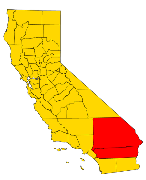
English: A map of the
w:Inland Empire (California) metropolitan area of California, which consists of the counties of Riverside and San Bernadino. |
|||
| Date | ||||
| Source | Own work based on File:California county map (Riverside County highlighted).svg | |||
| Author | Optigan13 | |||
| Other versions |
|

_Gold_color.svg)
_Gold_color_no_trans.png)
.svg)
Licensing
| I, the copyright holder of this work, release this work into the
public domain. This applies worldwide. In some countries this may not be legally possible; if so: I grant anyone the right to use this work for any purpose, without any conditions, unless such conditions are required by law. |
File history
Click on a date/time to view the file as it appeared at that time.
| Date/Time | Thumbnail | Dimensions | User | Comment | |
|---|---|---|---|---|---|
| current | 00:02, 8 August 2009 |
| 650 × 800 (43 KB) | Optigan13 | == Summary == {{Information |Description={{en|A map of the w:Inland Empire (California) metropolitan area of California, which consists of the counties of Riverside and San Bernadino. The }} |Source=Own work based on [[:File:California county map (Riv |
File usage
The following pages on the English Wikipedia use this file (pages on other projects are not listed):
- Teamsters Local 1932
- Wikipedia:WikiProject California/Inland Empire task force
- Wikipedia:WikiProject California/Inland Empire task force/right panel
- Wikipedia:WikiProject California/Templates
- Template:Cal Invitation
- Template:Cal Invitation/calstate
- Template:Cal Invitation/doc
- Template:Cal Invitation/ie
- Template:Cal Invitation/la
- Template:Cal Invitation/sandbox
- Template:Cal Invitation/sfba
- Template:Cal Invitation/socal
- Template:SFBA Welcome
_Gold_color_no_trans.png)