
Size of this PNG preview of this SVG file:
690 × 599 pixels. Other resolutions:
276 × 240 pixels |
553 × 480 pixels |
884 × 768 pixels |
1,179 × 1,024 pixels |
2,357 × 2,048 pixels |
1,425 × 1,238 pixels.
Original file (SVG file, nominally 1,425 × 1,238 pixels, file size: 9.83 MB)
| This is a file from the
Wikimedia Commons. Information from its
description page there is shown below. Commons is a freely licensed media file repository. You can help. |
Summary
| Description |
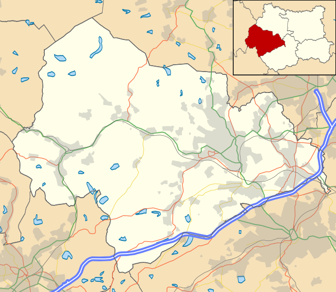
Map of Calderdale, UK with the following information shown:
|
| Date | |
| Source |
|
| Author | Rcsprinter123 using a work by Nilfanion, created using Ordnance Survey data |
| Permission ( Reusing this file) |
This file is licensed under the
Creative Commons
Attribution-Share Alike 3.0 Unported license. Attribution: Contains Ordnance Survey data © Crown copyright and database right
|
| Other versions | File:West Yorkshire UK location map.svg - Full map |
File history
Click on a date/time to view the file as it appeared at that time.
| Date/Time | Thumbnail | Dimensions | User | Comment | |
|---|---|---|---|---|---|
| current | 15:15, 22 November 2021 |
| 1,425 × 1,238 (9.83 MB) | Rcsprinter123 | . |
| 15:13, 22 November 2021 |
 | 1,425 × 1,238 (9.83 MB) | Rcsprinter123 | == {{int:filedesc}} == {{Information |Description=Map of Calderdale, UK with the following information shown: *Administrative borders *Coastline, lakes and rivers *Roads and railways *Urban areas Equirectangular map projection on WGS 84 datum, with N/S stretched 170% |Source= Ordnance Survey [https://www.ordnancesurvey.co.uk/opendatadownload/products.html OpenData]. *Administrative borders and coastline data from Boundary-Line product. *All other geograp... |
File usage
The following pages on the English Wikipedia use this file (pages on other projects are not listed):
- Ainley Top
- Bailiff Bridge
- Barkisland
- Boothtown
- Boulderclough
- Bradshaw, Calderdale
- Brighouse
- Chiserley
- Clifton, West Yorkshire
- Copley, West Yorkshire
- Cornholme
- Cragg Vale
- Eastwood, West Yorkshire
- Elland
- Fountainhead Village
- Greetland
- Halifax, West Yorkshire
- Hebden Bridge
- Heptonstall
- Hipperholme
- Holdsworth, West Yorkshire
- Holywell Green
- Illingworth, West Yorkshire
- Kebroyd
- King Cross
- Lightcliffe
- Luddenden
- Luddendenfoot
- Midgley
- Mixenden
- Mount Tabor, West Yorkshire
- Mytholmroyd
- Norland, West Yorkshire
- Northowram
- Norwood Green, West Yorkshire
- Ogden, West Yorkshire
- Old Town, West Yorkshire
- Ovenden
- Rastrick
- Ripponden
- Rishworth
- Shelf, West Yorkshire
- Shibden
- Skircoat Green
- Southowram
- Sowerby, West Yorkshire
- Sowerby Bridge
- Sowood, West Yorkshire
- Soyland
- Stainland
- Stansfield, West Yorkshire
- Todmorden
- Walsden
- Warley Town
- West Vale
- Module:Location map/data/United Kingdom Calderdale
- Module:Location map/data/United Kingdom Calderdale/doc
Global file usage
The following other wikis use this file:
- Usage on si.wikipedia.org
- Usage on uz.wikipedia.org