Size of this preview:
800 × 428 pixels. Other resolutions:
320 × 171 pixels |
640 × 342 pixels |
1,024 × 547 pixels |
1,280 × 684 pixels |
3,621 × 1,935 pixels.
Original file (3,621 × 1,935 pixels, file size: 2.74 MB, MIME type: image/jpeg)
| This is a file from the
Wikimedia Commons. Information from its
description page there is shown below. Commons is a freely licensed media file repository. You can help. |
Summary
| Camera location |
| View this and other nearby images on: OpenStreetMap |
|
|---|
| Description |
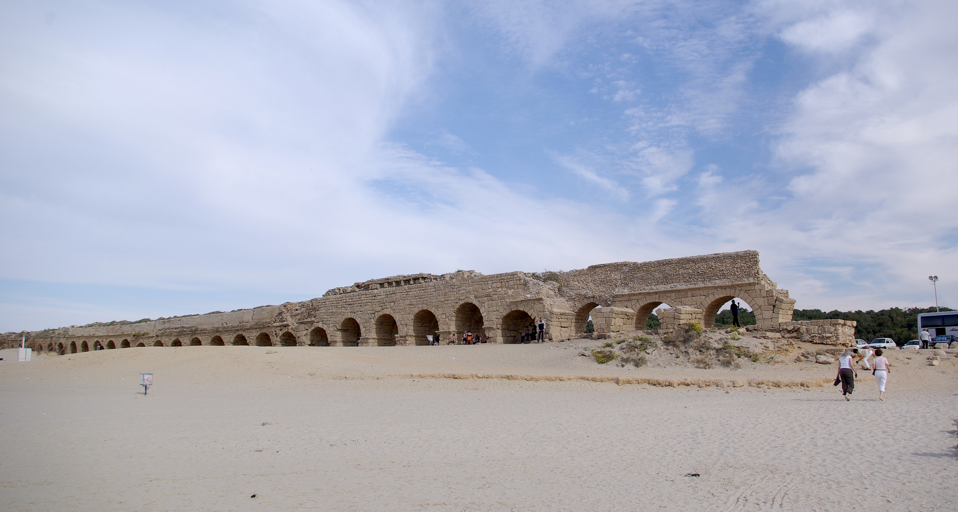
English: Caesarea maritima, aqueduct |
| Source | Own work |
| Author | Berthold Werner |
Licensing
| I, the copyright holder of this work, release this work into the
public domain. This applies worldwide. In some countries this may not be legally possible; if so: I grant anyone the right to use this work for any purpose, without any conditions, unless such conditions are required by law. |
File history
Click on a date/time to view the file as it appeared at that time.
| Date/Time | Thumbnail | Dimensions | User | Comment | |
|---|---|---|---|---|---|
| current | 16:25, 22 December 2008 |
| 3,621 × 1,935 (2.74 MB) | Berthold Werner | Kontrast angepasst |
| 14:23, 21 December 2008 |
 | 3,621 × 1,935 (1.98 MB) | Berthold Werner | {{Information |Description={{en|1=Caesarea maritima, aqueduct}} |Source=Eigenes Werk (own work) |Author= Berthold Werner |Date= |Permission= |other_versions= }} <!--{{ImageUpload|full}}--> Category:Caesarea Maritima [[Category |
File usage
The following pages on the English Wikipedia use this file (pages on other projects are not listed):
Global file usage
The following other wikis use this file:
- Usage on ca.wikipedia.org
- Usage on de.wikipedia.org
- Usage on eo.wikipedia.org
- Usage on es.wikipedia.org
- Usage on fr.wikipedia.org
- Usage on gl.wikipedia.org
- Usage on it.wikipedia.org
- Usage on la.wikipedia.org
- Usage on mk.wikipedia.org
- Usage on nn.wikipedia.org
- Usage on oc.wikipedia.org
- Usage on pl.wikipedia.org
- Usage on pl.wikivoyage.org
- Usage on pt.wikipedia.org
- Usage on tr.wikipedia.org
- Usage on uk.wikipedia.org
- Usage on ur.wikipedia.org