
Size of this PNG preview of this SVG file:
512 × 325 pixels. Other resolutions:
320 × 203 pixels |
640 × 406 pixels |
1,024 × 650 pixels |
1,280 × 813 pixels |
2,560 × 1,625 pixels.
Original file (SVG file, nominally 512 × 325 pixels, file size: 1.53 MB)
| This is a file from the
Wikimedia Commons. Information from its
description page there is shown below. Commons is a freely licensed media file repository. You can help. |
Summary
| Description |
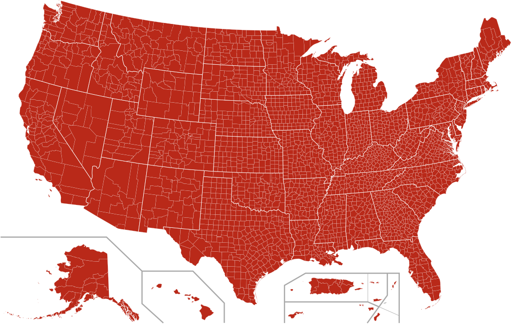
English: Map of the COVID-19 outbreak in the United States as of 13. January 2021. Be aware that since this is a rapidly evolving situation, new cases may not be immediately represented visually. Refer to the primary article
2019–20 outbreak of novel coronavirus 2019-nCoV or the
World Health Organization's situation reports for most recent reported case information
Español: Mapa de condados con casos confirmados en
Esìtados Unidos; tener en cuenta que, dado que la situación considerada evoluciona rápidamente, es posible que los casos nuevos no se encuentren representados visualmente de inmediato.
Deutsch: Karte des COVID-19-Ausbruchs in den Vereinigten Staaten (Stand: 13. Januar 2021). Beachten Sie, dass es sich um eine sich schnell entwickelnde Situation handelt und neue Fälle möglicherweise nicht sofort visuell dargestellt werden. Die neuesten Informationen zu den gemeldeten Fällen finden Sie im Hauptartikel
2019–20 outbreak of novel coronavirus 2019-nCoV oder in den
Lageberichten der Weltgesundheitsorganisation
Español:
Casos reportados confirmados English:
Confirmed cases reported Deutsch: Bestätigte Fälle, die gemeldet wurden |
| Date | |
| Source | |
| Author | Svenskbygderna ( talk) |
| SVG development |
Licensing
I, the copyright holder of this work, hereby publish it under the following license:
This file is licensed under the
Creative Commons
Attribution-Share Alike 4.0 International license.
- You are free:
- to share – to copy, distribute and transmit the work
- to remix – to adapt the work
- Under the following conditions:
- attribution – You must give appropriate credit, provide a link to the license, and indicate if changes were made. You may do so in any reasonable manner, but not in any way that suggests the licensor endorses you or your use.
- share alike – If you remix, transform, or build upon the material, you must distribute your contributions under the same or compatible license as the original.
File history
Click on a date/time to view the file as it appeared at that time.
| Date/Time | Thumbnail | Dimensions | User | Comment | |
|---|---|---|---|---|---|
| current | 14:54, 13 January 2021 |
| 512 × 325 (1.53 MB) | Milenioscuro | again, come counties missed |
| 14:19, 13 January 2021 |
 | 512 × 325 (1.53 MB) | Milenioscuro | again | |
| 14:13, 13 January 2021 |
 | 512 × 325 (1.53 MB) | Milenioscuro | optimized | |
| 20:51, 31 December 2020 |
 | 512 × 325 (4.03 MB) | Jerome501 | Every place has it now | |
| 05:30, 14 October 2020 |
 | 512 × 325 (4.02 MB) | Jerome501 | 10/13 | |
| 04:56, 28 September 2020 |
 | 512 × 325 (4.02 MB) | Jerome501 | 9/28 | |
| 06:15, 19 September 2020 |
 | 512 × 325 (4.02 MB) | Jerome501 | 9/19 | |
| 01:44, 1 September 2020 |
 | 512 × 325 (4.02 MB) | Jerome501 | 8/31 | |
| 05:00, 15 August 2020 |
 | 512 × 325 (4.01 MB) | Jerome501 | Forgot Alaska | |
| 04:55, 15 August 2020 |
 | 512 × 325 (4.01 MB) | Jerome501 | 8/14 |
File usage
The following pages on the English Wikipedia use this file (pages on other projects are not listed):
Global file usage
The following other wikis use this file:
- Usage on bg.wikipedia.org
- Usage on de.wikipedia.org
- Usage on es.wikipedia.org
- Usage on fr.wikinews.org
- Usage on jv.wikipedia.org
- Usage on ru.wikipedia.org
- Usage on test.wikipedia.org
- Usage on ug.wikipedia.org
- Usage on uk.wikipedia.org