Size of this preview:
800 × 600 pixels. Other resolutions:
320 × 240 pixels |
640 × 480 pixels |
1,024 × 768 pixels |
1,280 × 960 pixels |
2,560 × 1,920 pixels.
Original file (2,560 × 1,920 pixels, file size: 3.32 MB, MIME type: image/jpeg)
| This is a file from the
Wikimedia Commons. Information from its
description page there is shown below. Commons is a freely licensed media file repository. You can help. |
Summary
| Camera location |
| View this and other nearby images on: OpenStreetMap |
|
|---|
| Description |
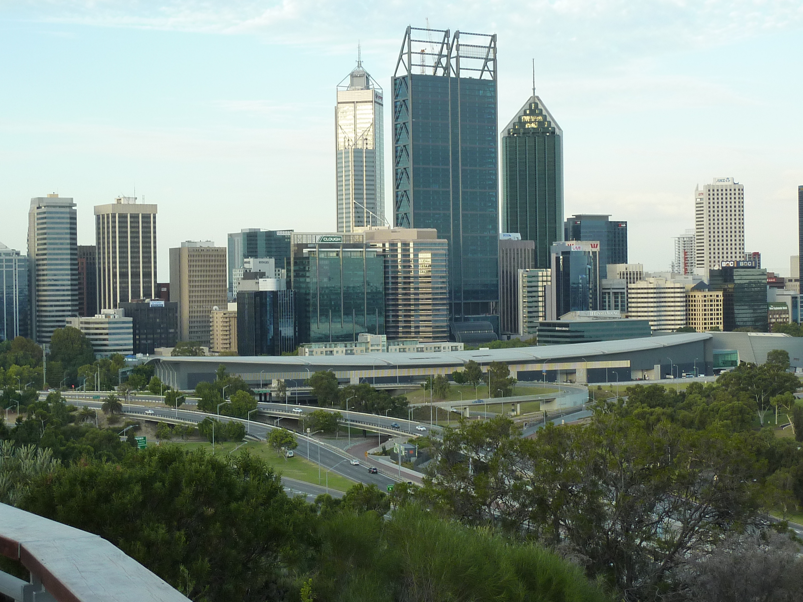
English: CBD of Perth, Western Australia, from Kings Park. |
| Date | Taken on 12 February 2012 |
| Source | Own work |
| Author | Kelapstick |
Licensing
I, the copyright holder of this work, hereby publish it under the following license:
This file is licensed under the
Creative Commons
Attribution-Share Alike 3.0 Unported license.
- You are free:
- to share – to copy, distribute and transmit the work
- to remix – to adapt the work
- Under the following conditions:
- attribution – You must give appropriate credit, provide a link to the license, and indicate if changes were made. You may do so in any reasonable manner, but not in any way that suggests the licensor endorses you or your use.
- share alike – If you remix, transform, or build upon the material, you must distribute your contributions under the same or compatible license as the original.
File history
Click on a date/time to view the file as it appeared at that time.
| Date/Time | Thumbnail | Dimensions | User | Comment | |
|---|---|---|---|---|---|
| current | 07:40, 30 April 2012 |
| 2,560 × 1,920 (3.32 MB) | Kelapstick |
File usage
No pages on the English Wikipedia use this file (pages on other projects are not listed).
Global file usage
The following other wikis use this file:
- Usage on as.wikipedia.org
- Usage on eu.wikipedia.org
- Usage on sr.wikipedia.org
- Usage on tl.wikipedia.org
- Usage on uk.wikipedia.org
- Міста Австралії
- Австралія
- Сідней
- Аделаїда
- Канберра
- Перт
- Брисбен
- Мельбурн
- Гобарт
- Дарвін (місто)
- Голд-Кост
- Ньюкасл (Австралія)
- Балларат
- Джилонг
- Вуллонгонг
- Тувумба
- Таунсвілл
- Бендіго
- Лонсестон (Тасманія)
- Кернс
- Населення Австралії
- Мейтленд (Австралія)
- Шаблон:Найбільші міста Австралії
- Олбері
- Водонга
- Саншайн-Кост (Квінсленд)
- Міська територія
- Квінбіан
- Usage on vi.wikipedia.org