Size of this preview:
800 × 539 pixels. Other resolutions:
320 × 216 pixels |
640 × 431 pixels |
1,024 × 690 pixels |
1,280 × 862 pixels |
2,936 × 1,978 pixels.
Original file (2,936 × 1,978 pixels, file size: 1.71 MB, MIME type: image/jpeg)
| This is a file from the
Wikimedia Commons. Information from its
description page there is shown below. Commons is a freely licensed media file repository. You can help. |
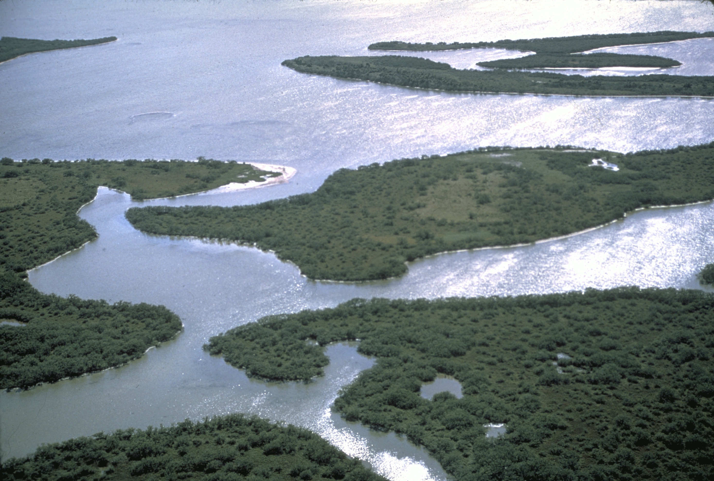
| Description | areal view of islands within Canaveral National Seashore, Florida, USA | |||
| Source | http://photo.itc.nps.gov/storage/images/cana/cana-Thumb.00001.html | |||
| Author | NPS photo | |||
| Permission ( Reusing this file) |
|
| Camera location |
| View this and other nearby images on: OpenStreetMap |
|
|---|
File history
Click on a date/time to view the file as it appeared at that time.
| Date/Time | Thumbnail | Dimensions | User | Comment | |
|---|---|---|---|---|---|
| current | 16:17, 26 September 2008 |
| 2,936 × 1,978 (1.71 MB) | H-stt | {{Information |Description= areal view of islands within Canaveral National Seashore, Florida, USA |Source= http://photo.itc.nps.gov/storage/images/cane/cane-Thumb.00001.html |Date= |Author= NPS photo |Permission= {{PD-USGov-NPS}} |other_versions= }} [[C |
File usage
The following pages on the English Wikipedia use this file (pages on other projects are not listed):
Global file usage
The following other wikis use this file:
- Usage on de.wikipedia.org
- Usage on lb.wikipedia.org
- Usage on nl.wikipedia.org
- Usage on vi.wikipedia.org