Original file (2,509 × 1,021 pixels, file size: 1.04 MB, MIME type: image/gif)
| This is a file from the
Wikimedia Commons. Information from its
description page there is shown below. Commons is a freely licensed media file repository. You can help. |
Summary
| Description |
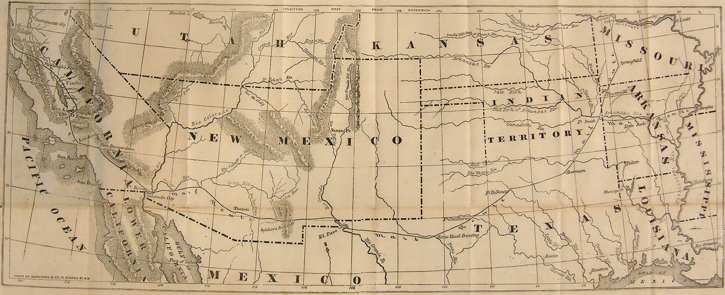
English: Foldout map of the
Southwestern United States with territories and "Mail Route" of the
Overland Mail Company contracted for $600,000 per year in 1857. Service began when the "first eastbound stagecoach departed San Francisco on September 15, 1858, and the westbound stagecoach left St. Louis a day later." The "DAILY LINE, from St.Louis to Springfield, Mo." was through
en:Tipton, Missouri until the
tbd railway was extended in 1859 along the preceding stage route to "
The George Shackelford Relay and Meal Station" in
en:Syracuse, Missouri. The "southern route" through the 1854
Gadsden Purchase region was abandoned in 1861 for the central route through the
Kansas and
Utah Territories (former Pony Express Route, not shown).
ERRATA
NAMES
|
||||
| Date | circa 1858(cartography) | ||||
| Source |
|
||||
| Author | author produced map prior to 1923 | ||||
| Permission ( Reusing this file) |
|
||||
| Other versions | |||||
.gif)
File history
Click on a date/time to view the file as it appeared at that time.
| Date/Time | Thumbnail | Dimensions | User | Comment | |
|---|---|---|---|---|---|
| current | 17:55, 12 August 2013 |
| 2,509 × 1,021 (1.04 MB) | 30 SW | Foldout map of the Southwestern United States with "Mail Route" of the Overland Mail Company contracted for $600,000 per year in 1857. Service began when the "first eastbound stagec... |
| 17:55, 12 August 2013 |
| 2,509 × 1,021 (1.04 MB) | 30 SW | Foldout map of the Southwestern United States with "Mail Route" of the Overland Mail Company contracted for $600,000 per year in 1857. Service began when the "first eastbound stagec... | |
| 09:52, 13 October 2011 |
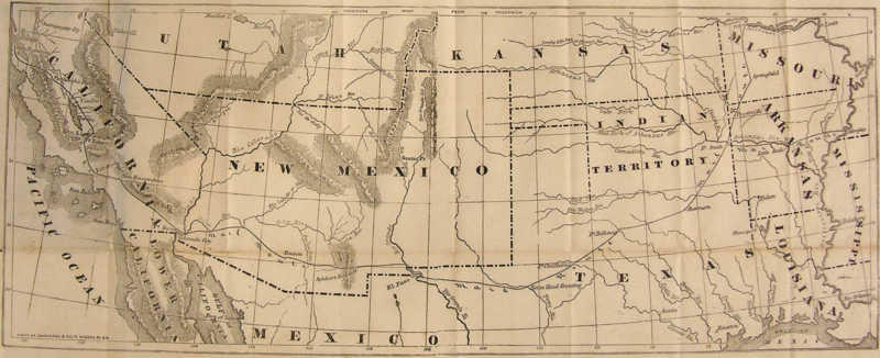
 | 850 × 367 (232 KB) | SreeBot | (Original text) : Overlay with the route marked in red, by John Cross | |
| 09:51, 13 October 2011 |
 | 850 × 367 (253 KB) | SreeBot | (Original text) : {{Information |Description = Historic 19th Century Map with Highlighted overlay of the route |Source = http://www.postalmuseum.si.edu/museum/1d_Butterfield.html |Date = Mid-19th Century |Author = Butterfi |
File usage
Global file usage
The following other wikis use this file:
- Usage on de.wikipedia.org