
Size of this PNG preview of this SVG file:
573 × 600 pixels. Other resolutions:
229 × 240 pixels |
459 × 480 pixels |
734 × 768 pixels |
979 × 1,024 pixels |
1,957 × 2,048 pixels |
1,210 × 1,266 pixels.
Original file (SVG file, nominally 1,210 × 1,266 pixels, file size: 2.45 MB)
| This is a file from the
Wikimedia Commons. Information from its
description page there is shown below. Commons is a freely licensed media file repository. You can help. |
| Description |
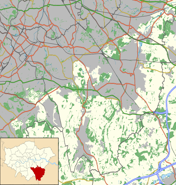
Location map of the London Borough of Bromley with the following information shown:
Equirectangular map projection on WGS 84 datum, with N/S stretched 160% Geographic limits:
|
| Date | |
| Source |
|
| Author | Nilfanion |
| Permission ( Reusing this file) |
This file is licensed under the
Creative Commons
Attribution-Share Alike 3.0 Unported license. Attribution: Contains Ordnance Survey data © Crown copyright and database right
|
File history
Click on a date/time to view the file as it appeared at that time.
| Date/Time | Thumbnail | Dimensions | User | Comment | |
|---|---|---|---|---|---|
| current | 22:59, 15 November 2011 |
| 1,210 × 1,266 (2.45 MB) | Nilfanion | {{Information |Description=Location map of the London Borough of Bromley with the following information shown: *{{legend|#646464|Ward boundaries}} *{{legend|#667fff|Motorways}} *{{legend|#4cb336|Primary routes}} *{{legend|# |
File usage
The following pages on the English Wikipedia use this file (pages on other projects are not listed):
- Anerley Town Hall
- Beckenham Beacon
- Beckenham Hospital
- Bethlem Royal Hospital
- Bromley Hospital
- Bromley Palace
- Bromley Town Hall
- Down House
- Kings Arms, Leaves Green
- Old Jail, Biggin Hill
- Orpington Hospital
- Princess Royal University Hospital
- The Bull, St Paul's Cray
- The Daylight Inn
- Module:Location map/data/United Kingdom London Bromley
- Module:Location map/data/United Kingdom London Bromley/doc
Global file usage
The following other wikis use this file:
- Usage on ar.wikipedia.org
- Usage on ceb.wikipedia.org
- Usage on fa.wikipedia.org
- Usage on fr.wikipedia.org
- Usage on kn.wikipedia.org
- Usage on si.wikipedia.org
- Usage on tr.wikipedia.org
- Usage on war.wikipedia.org