Size of this preview:
727 × 599 pixels. Other resolutions:
291 × 240 pixels |
582 × 480 pixels |
911 × 751 pixels.
Original file (911 × 751 pixels, file size: 293 KB, MIME type: image/jpeg)
| This is a file from the
Wikimedia Commons. Information from its
description page there is shown below. Commons is a freely licensed media file repository. You can help. |
Summary
| Description |
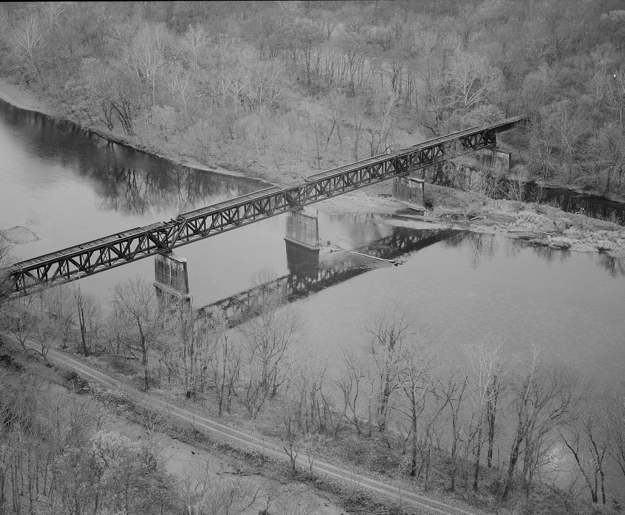
English: Bridge No. 1317, First Potomac and C&O Canal Crossing, looking south. Towpath in foreground. - Western Maryland Railway, Cumberland Extension, Pearre to North Branch, from WM milepost 125 to 160, Pearre, Washington County, MD.
|
|||||||||||||||||||||||
| Date | ||||||||||||||||||||||||
| Source | Library of Congress, Prints and Photograph Division HAER: MD-175 | |||||||||||||||||||||||
| Author |
|
|||||||||||||||||||||||
| Permission ( Reusing this file) |
|
|||||||||||||||||||||||
.jpg)
| Camera location |
| View this and other nearby images on: OpenStreetMap |
|
|---|

|
This image is available from the United States
Library of Congress's
Prints and Photographs division
under the digital ID hhh.md1890. This tag does not indicate the copyright status of the attached work. A normal copyright tag is still required. See Commons:Licensing.
|
File history
Click on a date/time to view the file as it appeared at that time.
| Date/Time | Thumbnail | Dimensions | User | Comment | |
|---|---|---|---|---|---|
| current | 19:38, 28 May 2017 |
| 911 × 751 (293 KB) | Farragutful | User created page with UploadWizard |
File usage
The following pages on the English Wikipedia use this file (pages on other projects are not listed):