
Size of this preview:
800 × 600 pixels. Other resolutions:
320 × 240 pixels |
640 × 480 pixels |
1,000 × 750 pixels.
Original file (1,000 × 750 pixels, file size: 135 KB, MIME type: image/jpeg)
| This is a file from the
Wikimedia Commons. Information from its
description page there is shown below. Commons is a freely licensed media file repository. You can help. |
|
This is an image of a place or building that is listed on the
National Register of Historic Places in the
United States of America. Its reference number is
81000104. |
Summary
| Description |
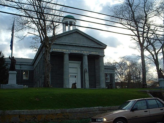
English: Barnstable County Court House, in Barnstable, Massachusetts. |
| Date | |
| Source | Transferred from en.wikipedia to Commons by User:Kelly using CommonsHelper. |
| Author | T.S. Custadio aka ToddC4176 at en.wikipedia |
| Object location |
| View this and other nearby images on: OpenStreetMap |
|
|---|
Licensing
ToddC4176 at the
English Wikipedia, the copyright holder of this work, hereby publishes it under the following license:

|
Permission is granted to copy, distribute and/or modify this document under the terms of the GNU Free Documentation License, Version 1.2 or any later version published by the Free Software Foundation; with no Invariant Sections, no Front-Cover Texts, and no Back-Cover Texts. A copy of the license is included in the section entitled GNU Free Documentation License. |
| This file is licensed under the Creative Commons Attribution-Share Alike 3.0 Unported license. | ||
| Attribution: ToddC4176 at the English Wikipedia | ||
| ||
| This licensing tag was added to this file as part of the GFDL licensing update. |
Original upload log
The original description page was
here. All following user names refer to en.wikipedia.
- 2007-02-23 19:41 ToddC4176 1000×750× (138161 bytes) {{Information| |Description = Brightman Street Bridge from the Taunton River shore. |Source = self-made |Date = Taken 5 September 2006 |Author = T.S. Custadio ~~~~ |Permission = GDFL Self-Made |other_versions = none }}
File history
Click on a date/time to view the file as it appeared at that time.
| Date/Time | Thumbnail | Dimensions | User | Comment | |
|---|---|---|---|---|---|
| current | 04:14, 14 August 2011 |
| 1,000 × 750 (135 KB) | File Upload Bot (Magnus Manske) | {{BotMoveToCommons|en.wikipedia|year={{subst:CURRENTYEAR}}|month={{subst:CURRENTMONTHNAME}}|day={{subst:CURRENTDAY}}}} {{Information |Description={{en|Brightman Street Bridge from the Taunton River shore.}} |Source=Transferred from [http://en.wikipedia.o |
File usage
The following pages on the English Wikipedia use this file (pages on other projects are not listed):
Global file usage
The following other wikis use this file:
- Usage on bg.wikipedia.org
- Usage on de.wikipedia.org
- Usage on ja.wikipedia.org