
Size of this preview:
668 × 600 pixels. Other resolutions:
267 × 240 pixels |
534 × 480 pixels |
855 × 768 pixels |
1,140 × 1,024 pixels |
1,336 × 1,200 pixels.
Original file (1,336 × 1,200 pixels, file size: 366 KB, MIME type: image/jpeg)
| This is a file from the
Wikimedia Commons. Information from its
description page there is shown below. Commons is a freely licensed media file repository. You can help. |
Summary
| Description |
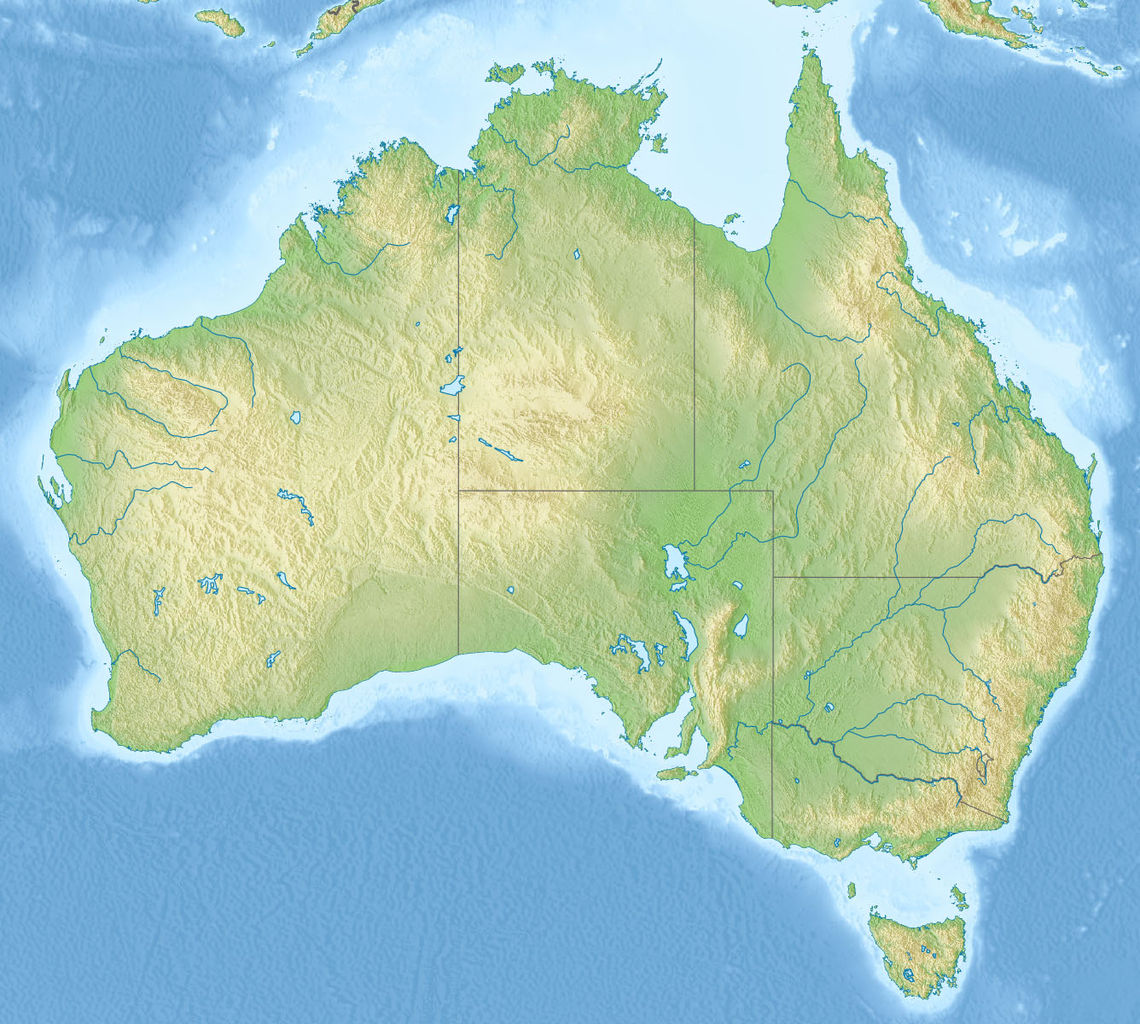
English: Relief map of
Australia, including the borders of the states of the
Commonwealth of Australia
Equirectangular projection, N/S stretching 110 %. Geographic limits of the map:
|
| Date | |
| Source |
|
| Author | |
| Other versions |
Derivative works of this file: Skylab reentry map.svg |

Licensing
This file is licensed under the
Creative Commons
Attribution-Share Alike 3.0 Unported license.
- You are free:
- to share – to copy, distribute and transmit the work
- to remix – to adapt the work
- Under the following conditions:
- attribution – You must give appropriate credit, provide a link to the license, and indicate if changes were made. You may do so in any reasonable manner, but not in any way that suggests the licensor endorses you or your use.
- share alike – If you remix, transform, or build upon the material, you must distribute your contributions under the same or compatible license as the original.
File history
Click on a date/time to view the file as it appeared at that time.
| Date/Time | Thumbnail | Dimensions | User | Comment | |
|---|---|---|---|---|---|
| current | 07:38, 14 November 2010 |
| 1,336 × 1,200 (366 KB) | Виктор В | == {{int:filedesc}} == {{Information |Description={{en|Relief map of Australia}} Equirectangular projection, N/S stretching 110 %. Geographic limits of the map: * N: 9.0° S * S: 44.5° S * W: 111.5° E * E: 155.0° E |Source=* [[:File:A |
File usage
More than 100 pages use this file. The following list shows the first 100 pages that use this file only. A full list is available.
- 1989 Newcastle earthquake
- Abercrombie River
- Adelaide
- Adelaide Superbasin
- Amadeus Basin
- Anglo-Australian Telescope
- Anne Beadell Highway
- Ashburton River (Western Australia)
- Attack on Broome
- Australia Telescope Compact Array
- Australia Telescope National Facility
- Australian Astronomical Observatory
- Australian Masters
- Australian Open (golf)
- Australian PGA Championship
- Avon River (Mid-Coast Council)
- Bombing of Darwin
- Bowen Basin
- Bowman Park
- Brisbane
- Burning Mountain
- Canberra
- Canberra Deep Space Communication Complex
- Captains Mountain
- Carnarvon Tracking Station
- Darwin, Northern Territory
- Discovery Bay (Australia)
- Faulkes Telescope South
- Glenrock Lagoon
- Gondwana Rainforests
- Great Australian Bight
- Great Australian Bight Marine Park (Commonwealth waters)
- Great Barrier Reef Marine Park
- Greater Blue Mountains Area
- Groote Eylandt
- Gunbarrel Highway
- Heineken Classic
- Hobart
- Honeysuckle Creek Tracking Station
- Horizontal Falls
- Island Lagoon Tracking Station
- Jenolan Caves
- Johnnie Walker Classic
- Kangaroo Island
- Kata Tjuta
- King George Sound (Western Australia)
- Lady Elliot Island
- Lake Barrine
- Lake Burley Griffin
- Lake Burragorang
- Lake Eacham (Queensland)
- Lake Macdonald
- Lake Mackay
- Melbourne Observatory
- Melville Island (Northern Territory)
- Molonglo Observatory Synthesis Telescope
- Mopra Telescope
- Morwell National Park
- Mount Chambers Gorge
- Mount Kosciuszko
- Mount Pleasant Radio Observatory
- Mount Stromlo Observatory
- Murchison Widefield Array
- Myall Lakes
- Narrabri Stellar Intensity Interferometer
- New Norcia Station
- Ningaloo Coast
- Old Hume Highway
- Operation Hurricane
- Outback Highway
- Parkes Observatory
- Paul Wild Observatory
- Perth
- Perth Observatory
- Pine Gap
- Reedy Creek Observatory
- Riversleigh World Heritage Area
- Royal Adelaide Golf Club
- Royal Melbourne Golf Club
- Shark Bay
- Siding Spring 2.3 m Telescope
- Siding Spring Observatory
- Siding Spring Survey
- SkyMapper
- Snowy River
- South Australian Open (golf)
- Spencer Gulf
- St Mary Peak
- Steamer Range
- Structure of the Australian Army
- Sydney
- Sydney Opera House
- Thredbo, New South Wales
- Toohey Mountain
- UK Schmidt Telescope
- Uluru
- Wet Tropics of Queensland
- Willandra Lakes Region
- Wilpena Pound
- Yan Yean Reservoir
View more links to this file.
Global file usage
The following other wikis use this file:
- Usage on ab.wikipedia.org
- Usage on als.wikipedia.org
- Usage on am.wikipedia.org
- Usage on ar.wikipedia.org
- Usage on arz.wikipedia.org
- Usage on ast.wikipedia.org
- Usage on as.wikipedia.org
- Usage on azb.wikipedia.org
- Usage on az.wikipedia.org
- Böyük Suayırıcı sıra dağları
- Liverpul (dağ)
- Böyük Viktoriya səhrası
- Tasman dənizi
- Timor dənizi
- Eyr
- Uluru
- Hiller gölü
- Kakadu Milli Parkı
- Uluru–Kata-Tyuta Milli Parkı
- Purnululu Milli Parkı
- Şablon:Yer xəritəsi Avstraliya
- Freyzer (ada)
- Mərcan dənizi
- Kostyuşko (dağ)
- Bass boğazı
- Karpentariya körfəzi
- Spenser körfəzi
- Torres boğazı
- Dundas boğazı
- Tasman yarımadası
- Yanakie bərzəxi
- D'Antrkasto boğazı
- Undara Vulkanik Milli Parkı
- Kalbarri Milli Parkı
- Böyük Avstraliya körfəzi
- Torrens gölü
- Melvill (ada, Avstraliya)
- Bayron burnu
- York burnu (Avstraliya)
- Saut-Poynt
- Stip-Poynt burnu
- Böyük Qumlu səhra
- Kiçik Qumlu səhra
View more global usage of this file.