Size of this preview:
800 × 403 pixels. Other resolutions:
320 × 161 pixels |
640 × 322 pixels |
1,024 × 516 pixels |
2,000 × 1,007 pixels.
Original file (2,000 × 1,007 pixels, file size: 280 KB, MIME type: image/png)
| This is a file from the
Wikimedia Commons. Information from its
description page there is shown below. Commons is a freely licensed media file repository. You can help. |
Summary
| Description |
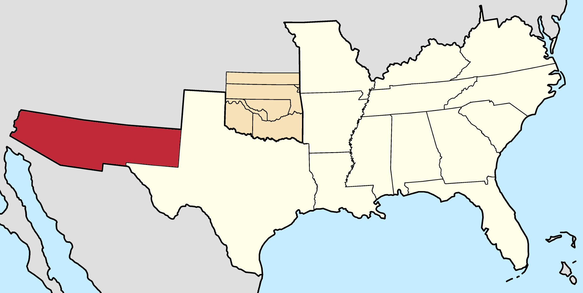
Deutsch: Lage von XY (siehe Dateiname) in den
Konföderierte Staaten.
English: Location of state of XY (see filename) in the
Confederate States |
| Date | |
| Source |
This file was derived from:
Confederate States map 1861-12-31 to 1865-05-05.png by
original author |
| Author |
Golbez Vector: |
| Permission ( Reusing this file) |
This file is licensed under the
Creative Commons
Attribution-Share Alike 4.0 International license.
|
File history
Click on a date/time to view the file as it appeared at that time.
| Date/Time | Thumbnail | Dimensions | User | Comment | |
|---|---|---|---|---|---|
| current | 17:01, 24 October 2020 |
| 2,000 × 1,007 (280 KB) | Lieutcoluseng | Uploaded a work by {{AutVec|o=Golbez|Lieutcoluseng|3=Confederate States map 1861-12-31 to 1865-05-05.png|4={{0}}.}} from {{Derived from|Confederate States map 1861-12-31 to 1865-05-05.png|by={{u|Golbez|'''original''' author}}}} with UploadWizard |
File usage
The following pages on the English Wikipedia use this file (pages on other projects are not listed):
Global file usage
The following other wikis use this file:
- Usage on ar.wikipedia.org
- Usage on he.wikipedia.org
- Usage on it.wikipedia.org
- Usage on www.wikidata.org