
Size of this preview:
800 × 567 pixels. Other resolutions:
320 × 227 pixels |
640 × 454 pixels |
1,024 × 726 pixels |
1,280 × 908 pixels |
2,688 × 1,906 pixels.
Original file (2,688 × 1,906 pixels, file size: 3.68 MB, MIME type: image/jpeg)
| This is a file from the
Wikimedia Commons. Information from its
description page there is shown below. Commons is a freely licensed media file repository. You can help. |
Summary
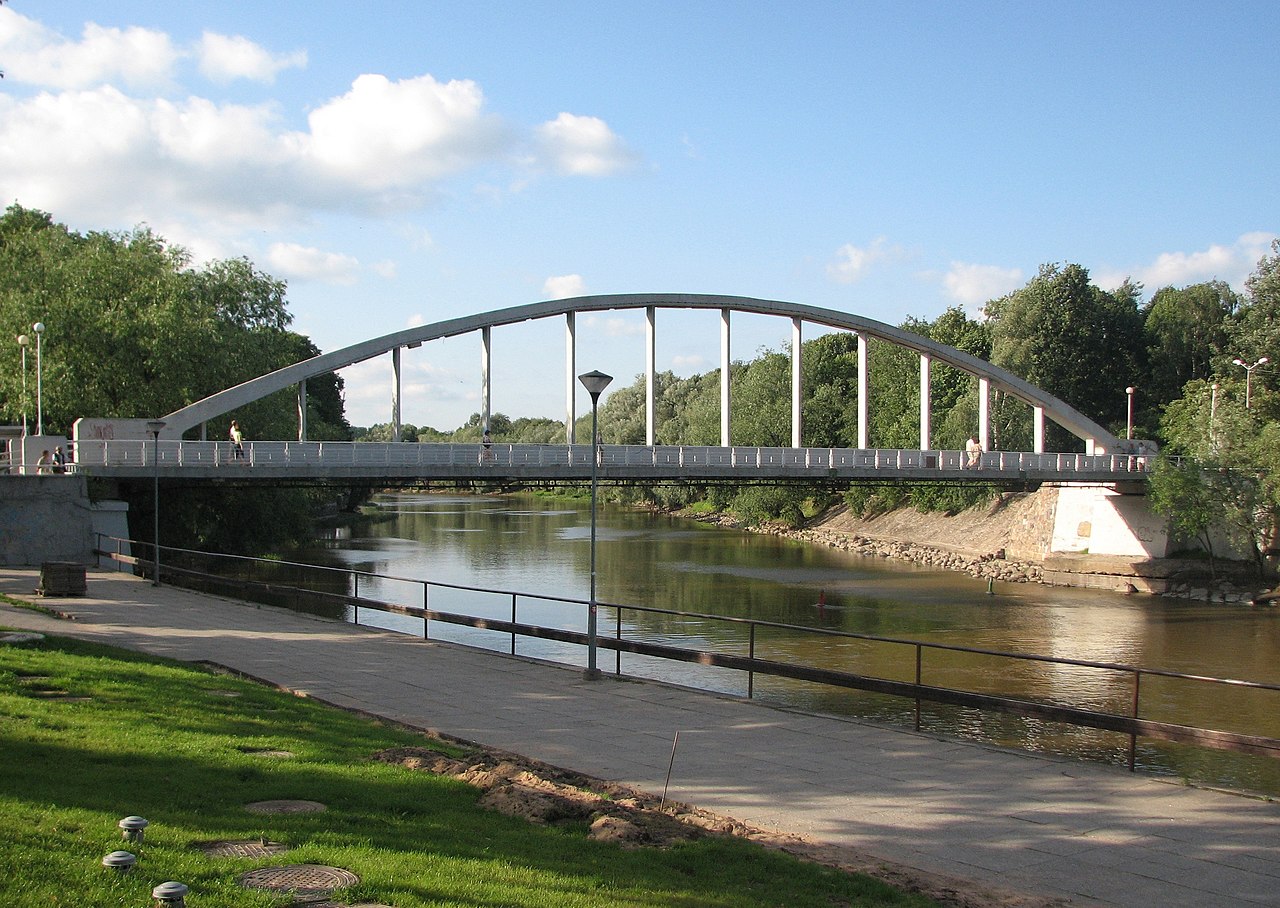
| Description | Pedestrians arch bridge in Tartu over EmaJõgi (river), Estonia |
| Date | |
| Source | Own work |
| Author | HendrixEesti |
| Camera location |
| View this and other nearby images on: OpenStreetMap |
|
|---|
Licensing
| This work has been released into the
public domain by its author, I,
Hendrixeesti. This applies worldwide. In some countries this may not be legally possible; if so: I, Hendrixeesti grants anyone the right to use this work for any purpose, without any conditions, unless such conditions are required by law. |
File history
Click on a date/time to view the file as it appeared at that time.
| Date/Time | Thumbnail | Dimensions | User | Comment | |
|---|---|---|---|---|---|
| current | 18:19, 26 July 2007 |
| 2,688 × 1,906 (3.68 MB) | Marku1988 | |
| 18:05, 26 July 2007 |
 | 2,816 × 2,112 (2.83 MB) | HendrixEesti | {{Information |Description=Pedestrians arch bridge in Tartu over EmaJõgi (river), Estonia |Source=own work |Date=26.July 2007 |Author=HendrixEesti |Permission= |other_versions= }} |
File usage
The following pages on the English Wikipedia use this file (pages on other projects are not listed):
Global file usage
The following other wikis use this file:
- Usage on es.wikipedia.org
- Usage on et.wikipedia.org
- Usage on et.wikiquote.org
- Usage on fa.wikipedia.org
- Usage on fiu-vro.wikipedia.org
- Usage on fi.wikipedia.org
- Usage on fr.wikipedia.org
- Usage on gl.wikipedia.org
- Usage on hyw.wikipedia.org
- Usage on it.wikipedia.org
- Usage on pt.wikipedia.org
- Usage on ru.wikipedia.org
- Usage on sl.wikipedia.org
- Usage on sv.wikipedia.org
- Usage on www.wikidata.org