
Size of this preview:
800 × 492 pixels. Other resolutions:
320 × 197 pixels |
640 × 394 pixels |
1,024 × 630 pixels |
1,406 × 865 pixels.
Original file (1,406 × 865 pixels, file size: 428 KB, MIME type: image/jpeg)
| This is a file from the
Wikimedia Commons. Information from its
description page there is shown below. Commons is a freely licensed media file repository. You can help. |
| Object location |
| View this and other nearby images on: OpenStreetMap |
|
|---|
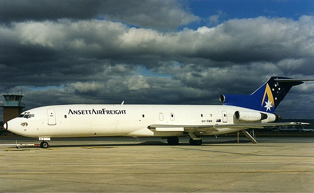
| Description | Ansett Air Freight Boeing 727-200F at Perth Airport. |
| Date | mid 1990s |
| Source | http://www.myaviation.net/search/photo_search.php?id=00476686&size=large |
| Author | John Wheatley |
This file comes from the John Wheatley collection and is copyrighted.
Note: This permission only extends to photos taken by John Wheatley at this link and this link, in addition to files which may be provided via email. It does not include any other content from the above sites which has not been provided by John Wheatley.
|


|
The categories of this image need checking. You can do so
here.
|
File history
Click on a date/time to view the file as it appeared at that time.
| Date/Time | Thumbnail | Dimensions | User | Comment | |
|---|---|---|---|---|---|
| current | 06:46, 24 November 2011 |
| 1,406 × 865 (428 KB) | Russavia | {{Object location|31|56|27.41|S|115|57|53.02|E|type:airport_region:AU}} {{Information |Description=Ansett Air Freight Boeing 727-200F at Perth Airport. |Source=http://www.myaviation.net/search/photo_search.php?id=00476686&size=large |Date=mid 1990s |Autho |
File usage
The following pages on the English Wikipedia use this file (pages on other projects are not listed):
Global file usage
The following other wikis use this file:
- Usage on ja.wikipedia.org