Size of this preview:
800 × 600 pixels. Other resolutions:
320 × 240 pixels |
640 × 480 pixels |
1,024 × 768 pixels |
1,280 × 960 pixels |
1,632 × 1,224 pixels.
Original file (1,632 × 1,224 pixels, file size: 523 KB, MIME type: image/jpeg)
| This is a file from the
Wikimedia Commons. Information from its
description page there is shown below. Commons is a freely licensed media file repository. You can help. |
Summary
| Description |
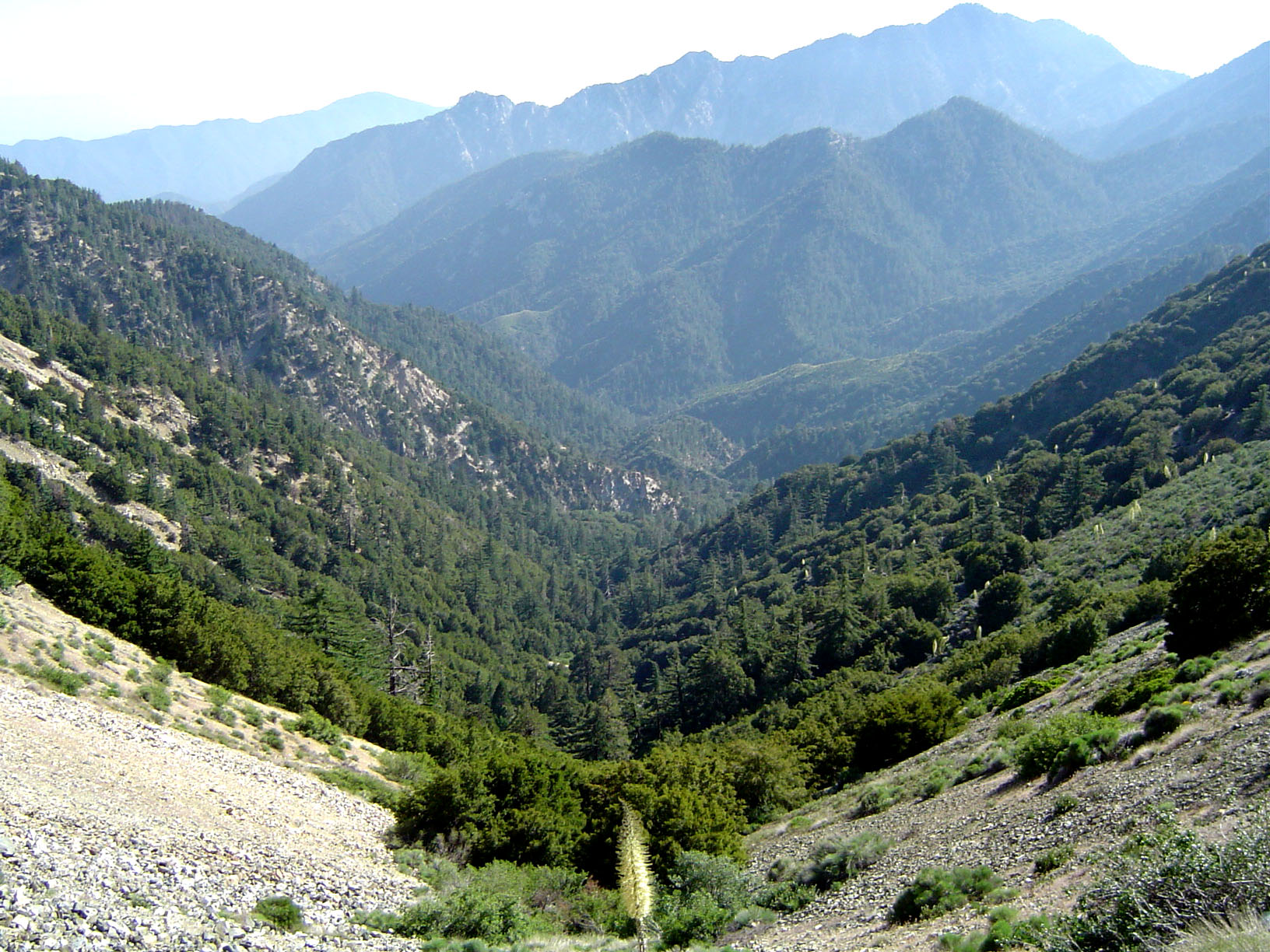
English: The San Gabriel Mountains, part of the Angeles National Forest in Los Angeles County, California.
|
| Date | 25 June 2005 — 27 June 2005 (original upload date) |
| Source | Transferred from en.wikipedia to Commons by IngerAlHaosului using CommonsHelper. |
| Author | Geographer at en.wikipedia |
| Permission ( Reusing this file) |
CC-BY. |
Licensing
This file is licensed under the
Creative Commons
Attribution 1.0 Generic license.
- You are free:
- to share – to copy, distribute and transmit the work
- to remix – to adapt the work
- Under the following conditions:
- attribution – You must give appropriate credit, provide a link to the license, and indicate if changes were made. You may do so in any reasonable manner, but not in any way that suggests the licensor endorses you or your use.
Original upload log
The original description page was
here. All following user names refer to en.wikipedia.
- 2005-06-27 02:40 Geographer 1632×1224× (535148 bytes) Photographed and uploaded by user:Geographer. Angeles National Forest at about 6500 feet looking toward Los Angeles, June 25, 2005 {{Cc-by-1.0}}
File history
Click on a date/time to view the file as it appeared at that time.
| Date/Time | Thumbnail | Dimensions | User | Comment | |
|---|---|---|---|---|---|
| current | 09:17, 14 January 2010 |
| 1,632 × 1,224 (523 KB) | File Upload Bot (Magnus Manske) | {{BotMoveToCommons|en.wikipedia|year={{subst:CURRENTYEAR}}|month={{subst:CURRENTMONTHNAME}}|day={{subst:CURRENTDAY}}}} {{Information |Description={{en|Photographed and uploaded by user:Geographer. The San Gabriel Mountains, part of the Angeles National |
File usage
The following pages on the English Wikipedia use this file (pages on other projects are not listed):
- Angeles National Forest
- California Historical Landmarks in Los Angeles County
- California montane chaparral and woodlands
- Geography of southern California
- List of national forests of the United States
- San Gabriel River (California)
- Wikipedia:WikiProject U.S. counties/Guideline
- Portal:Greater Los Angeles
- Portal:Greater Los Angeles/L.A. Districts
Global file usage
The following other wikis use this file:
- Usage on ar.wikipedia.org
- Usage on arz.wikipedia.org
- Usage on ca.wikipedia.org
- Usage on ceb.wikipedia.org
- Usage on de.wikipedia.org
- Usage on en.wikivoyage.org
- Usage on es.wikipedia.org
- Usage on fa.wikipedia.org
- Usage on fr.wikipedia.org
- Usage on he.wikivoyage.org
- Usage on it.wikipedia.org
- Usage on ml.wikipedia.org
- Usage on nl.wikipedia.org
- Usage on pl.wikipedia.org
- Usage on ru.wikipedia.org
- Usage on th.wikipedia.org
- Usage on www.wikidata.org
- Usage on zh.wikipedia.org