
Size of this preview:
800 × 532 pixels. Other resolutions:
320 × 213 pixels |
640 × 426 pixels |
1,024 × 681 pixels |
1,280 × 851 pixels |
3,008 × 2,000 pixels.
Original file (3,008 × 2,000 pixels, file size: 685 KB, MIME type: image/jpeg)
| This is a file from the
Wikimedia Commons. Information from its
description page there is shown below. Commons is a freely licensed media file repository. You can help. |
|
This is an image of a place or building that is listed on the
National Register of Historic Places in the
United States of America. Its reference number is
70000070. |
| Description |
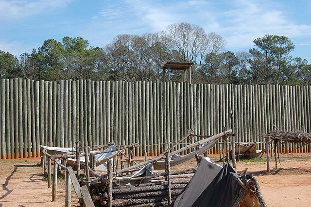
English: reconstructed wall at Andersonville |
||
| Date | |||
| Source |
self-made by
Bubba73 - Transferred from
en.wikipedia; transferred to Commons by
User:H-stt using
CommonsHelper. |
||
| Author | Jud McCranie at en.wikipedia | ||
| Permission ( Reusing this file) |
Bubba73 at
en.wikipedia, the copyright holder of this work, hereby publishes it under the following licenses: This file is licensed under the
Creative Commons
Attribution-Share Alike 3.0 Unported license. Attribution:
Bubba73 at
en.wikipedia
You may select the license of your choice. |

| Object location |
| View this and other nearby images on: OpenStreetMap |
|
|---|
Original upload log
The original description page was
here. All following user names refer to en.wikipedia.
- 2008-02-19 15:36 Bubba73 3008×2000× (701506 bytes) {{Information |Description=reconstructed wall at Andersonville |Source=self-made |Date=Feb. 16, 2008 |Location=Andersonville National Historic Site |Author=~~~ |other_versions= }}
File history
Click on a date/time to view the file as it appeared at that time.
| Date/Time | Thumbnail | Dimensions | User | Comment | |
|---|---|---|---|---|---|
| current | 19:34, 1 April 2010 |
| 3,008 × 2,000 (685 KB) | File Upload Bot (Magnus Manske) | {{BotMoveToCommons|en.wikipedia|year={{subst:CURRENTYEAR}}|month={{subst:CURRENTMONTHNAME}}|day={{subst:CURRENTDAY}}}} {{Information |Description={{en|reconstructed wall at Andersonville}} |Source=Transferred from [http://en.wikipedia.org en.wikipedia]; |
File usage
The following pages on the English Wikipedia use this file (pages on other projects are not listed):
Global file usage
The following other wikis use this file:
- Usage on ar.wikipedia.org
- Usage on de.wikipedia.org
- Usage on en.wikivoyage.org
- Usage on es.wikipedia.org
- Usage on fr.wikipedia.org
- Usage on lv.wikipedia.org
- Usage on simple.wikipedia.org
- Usage on zh.wikipedia.org