Size of this preview:
800 × 600 pixels. Other resolutions:
320 × 240 pixels |
640 × 480 pixels |
1,024 × 768 pixels |
1,280 × 960 pixels |
2,560 × 1,920 pixels |
3,072 × 2,304 pixels.
Original file (3,072 × 2,304 pixels, file size: 942 KB, MIME type: image/jpeg)
| This is a file from the
Wikimedia Commons. Information from its
description page there is shown below. Commons is a freely licensed media file repository. You can help. |
Summary
| Description |
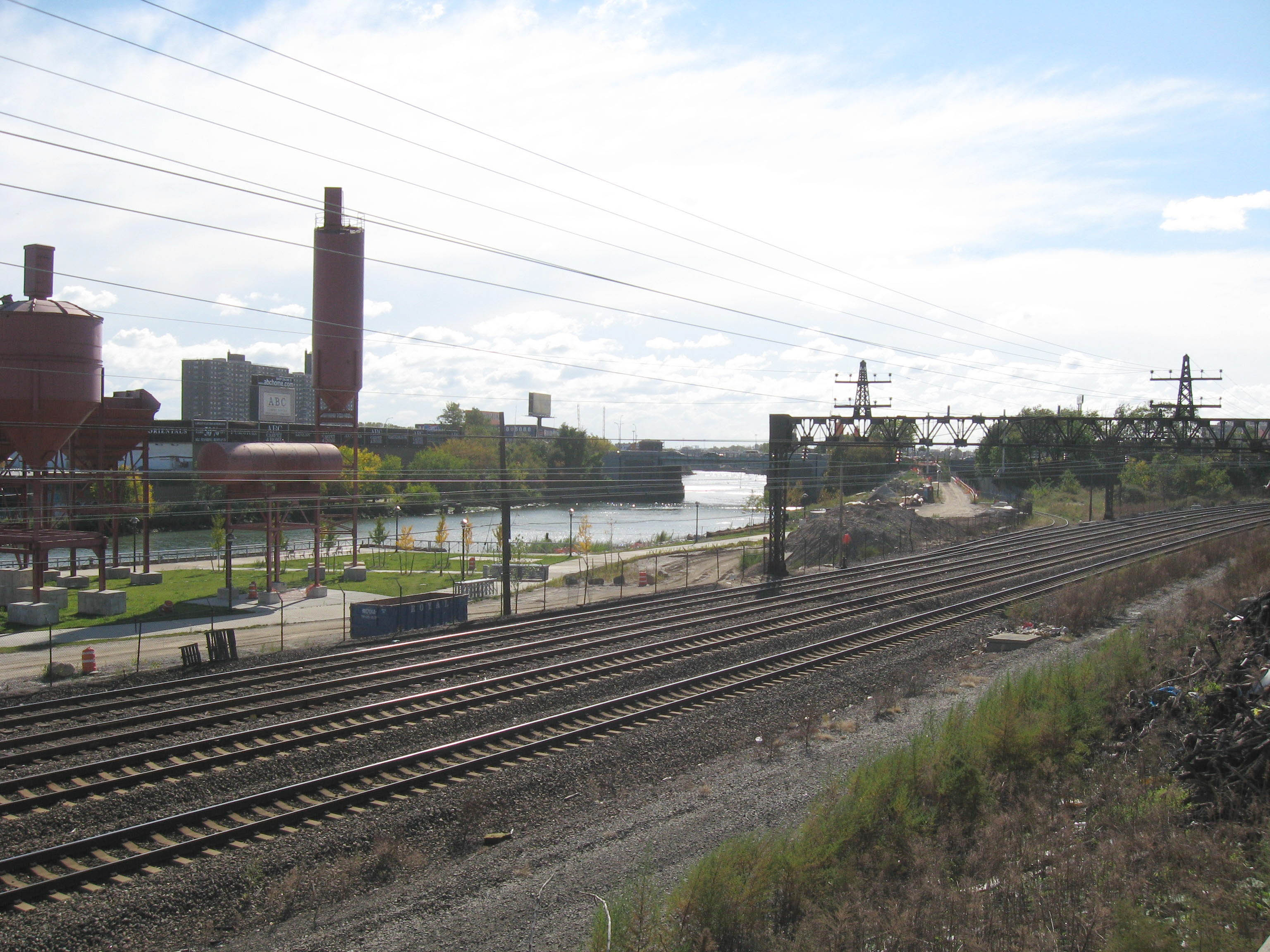
English: Looking south from
en:Sheridan Expressway, near where 167th Street would be, at tracks once belonging to New Haven Railroad (Harlem River line), now to Amtrak, and the Bronx River on a sunny late morning. Concrete Plant Park, background left, not yet open. ZIP 10059. |
| Date | Taken on 19 October 2008 |
| Source | Own work |
| Author | Jim.henderson |
| Camera location | | View this and other nearby images on: OpenStreetMap |
|
|---|
Licensing
| I, the copyright holder of this work, release this work into the
public domain. This applies worldwide. In some countries this may not be legally possible; if so: I grant anyone the right to use this work for any purpose, without any conditions, unless such conditions are required by law. |
File history
Click on a date/time to view the file as it appeared at that time.
| Date/Time | Thumbnail | Dimensions | User | Comment | |
|---|---|---|---|---|---|
| current | 23:28, 10 November 2008 |
| 3,072 × 2,304 (942 KB) | Jim.henderson | {{Information |Description={{en|1=Looking south from en:Sheridan Expressway, near where 167th Street would be, at tracks once belonging to en:Harlem River and Port Chester Railroad, now to Amtrak, and the Bronx River on a sunny late morning.}} | |
File usage
The following pages on the English Wikipedia use this file (pages on other projects are not listed):