
Size of this preview:
609 × 600 pixels. Other resolutions:
244 × 240 pixels |
487 × 480 pixels |
654 × 644 pixels.
Original file (654 × 644 pixels, file size: 300 KB, MIME type: image/png)
| This is a file from the
Wikimedia Commons. Information from its
description page there is shown below. Commons is a freely licensed media file repository. You can help. |
Summary
| Description |
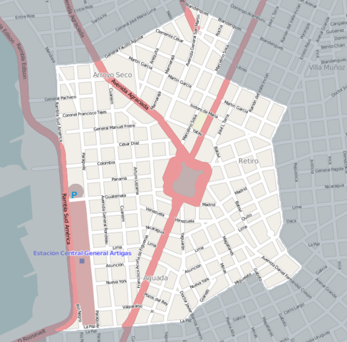
English: Street map of Aguada, Montevideo, exported from OpenStreetMap. I added shading to delimit the barrio. |
||||||||||||
| Date | |||||||||||||
| Source |
|
||||||||||||
| Author | Hoverfish |
Licensing
This file is licensed under the
Creative Commons
Attribution-Share Alike 2.0 Generic license.
- You are free:
- to share – to copy, distribute and transmit the work
- to remix – to adapt the work
- Under the following conditions:
- attribution – You must give appropriate credit, provide a link to the license, and indicate if changes were made. You may do so in any reasonable manner, but not in any way that suggests the licensor endorses you or your use.
- share alike – If you remix, transform, or build upon the material, you must distribute your contributions under the same or compatible license as the original.
File history
Click on a date/time to view the file as it appeared at that time.
| Date/Time | Thumbnail | Dimensions | User | Comment | |
|---|---|---|---|---|---|
| current | 01:30, 2 April 2011 |
| 654 × 644 (300 KB) | Hoverfish | re-upload, possible upload error |
| 01:28, 2 April 2011 |
 | 654 × 644 (300 KB) | Hoverfish | {{Information |Description ={{en|1=Street map of Aguada, Montevideo, exported from OpenStreetMap. I added shading to delimit the barrio.}} |Source ={{OpenStreetMap}} |Author = Hoverfish |Date =2011-04-01 |Per |
File usage
The following pages on the English Wikipedia use this file (pages on other projects are not listed):
Global file usage
The following other wikis use this file:
- Usage on de.wikipedia.org
- Usage on fa.wikipedia.org
- Usage on ur.wikipedia.org