
Size of this preview:
800 × 536 pixels. Other resolutions:
320 × 215 pixels |
640 × 429 pixels |
1,024 × 686 pixels |
1,280 × 858 pixels |
2,560 × 1,716 pixels |
3,264 × 2,188 pixels.
Original file (3,264 × 2,188 pixels, file size: 6.28 MB, MIME type: image/jpeg)
| This is a file from the
Wikimedia Commons. Information from its
description page there is shown below. Commons is a freely licensed media file repository. You can help. |
Summary
| Description |
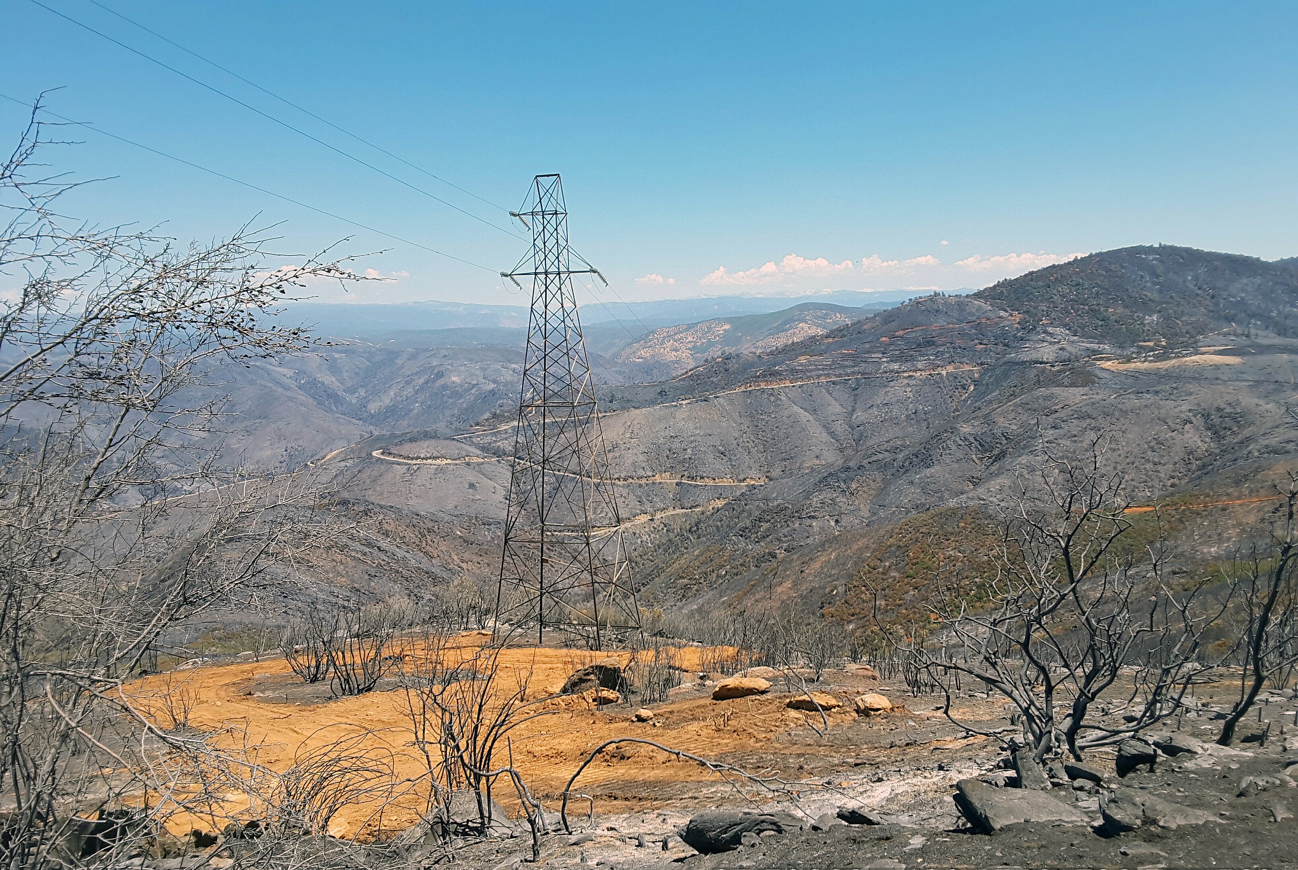
English: Aftermath of the Detwiler Fire |
| Date | |
| Source | https://www.flickr.com/photos/blmcalifornia/36804402854/ |
| Author | Monte Kawahara |
| Camera location | | View this and other nearby images on: OpenStreetMap |
|
|---|
Licensing
| This image is a work of a
Bureau of Land Management* employee, taken or made as part of that person's official duties. As a
work of the
U.S. federal government, the image is in the
public domain in the United States. *or predecessor organization |
| This image, originally posted to Flickr, was reviewed on 19 September 2019 by the administrator or reviewer Chenzw, who confirmed that it was available on Flickr under the stated license on that date. |
File history
Click on a date/time to view the file as it appeared at that time.
| Date/Time | Thumbnail | Dimensions | User | Comment | |
|---|---|---|---|---|---|
| current | 00:27, 25 July 2018 |
| 3,264 × 2,188 (6.28 MB) | Foo39 | User created page with UploadWizard |
File usage
The following pages on the English Wikipedia use this file (pages on other projects are not listed):