
Size of this PNG preview of this SVG file:
457 × 307 pixels. Other resolutions:
320 × 215 pixels |
640 × 430 pixels |
1,024 × 688 pixels |
1,280 × 860 pixels |
2,560 × 1,720 pixels.
Original file (SVG file, nominally 457 × 307 pixels, file size: 251 KB)
| This is a file from the
Wikimedia Commons. Information from its
description page there is shown below. Commons is a freely licensed media file repository. You can help. |
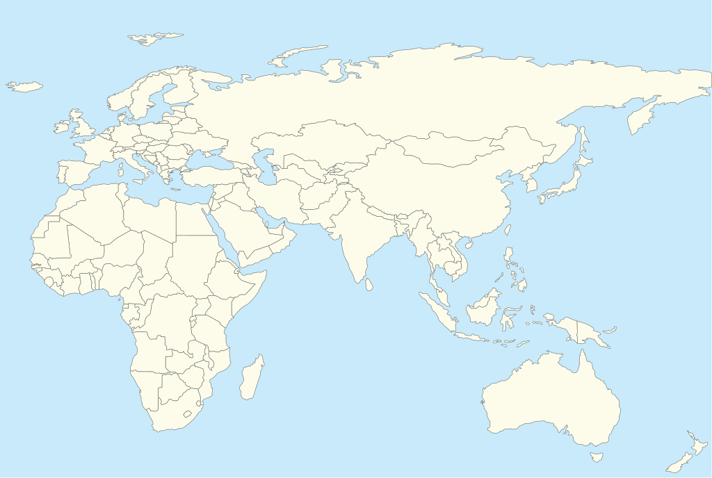
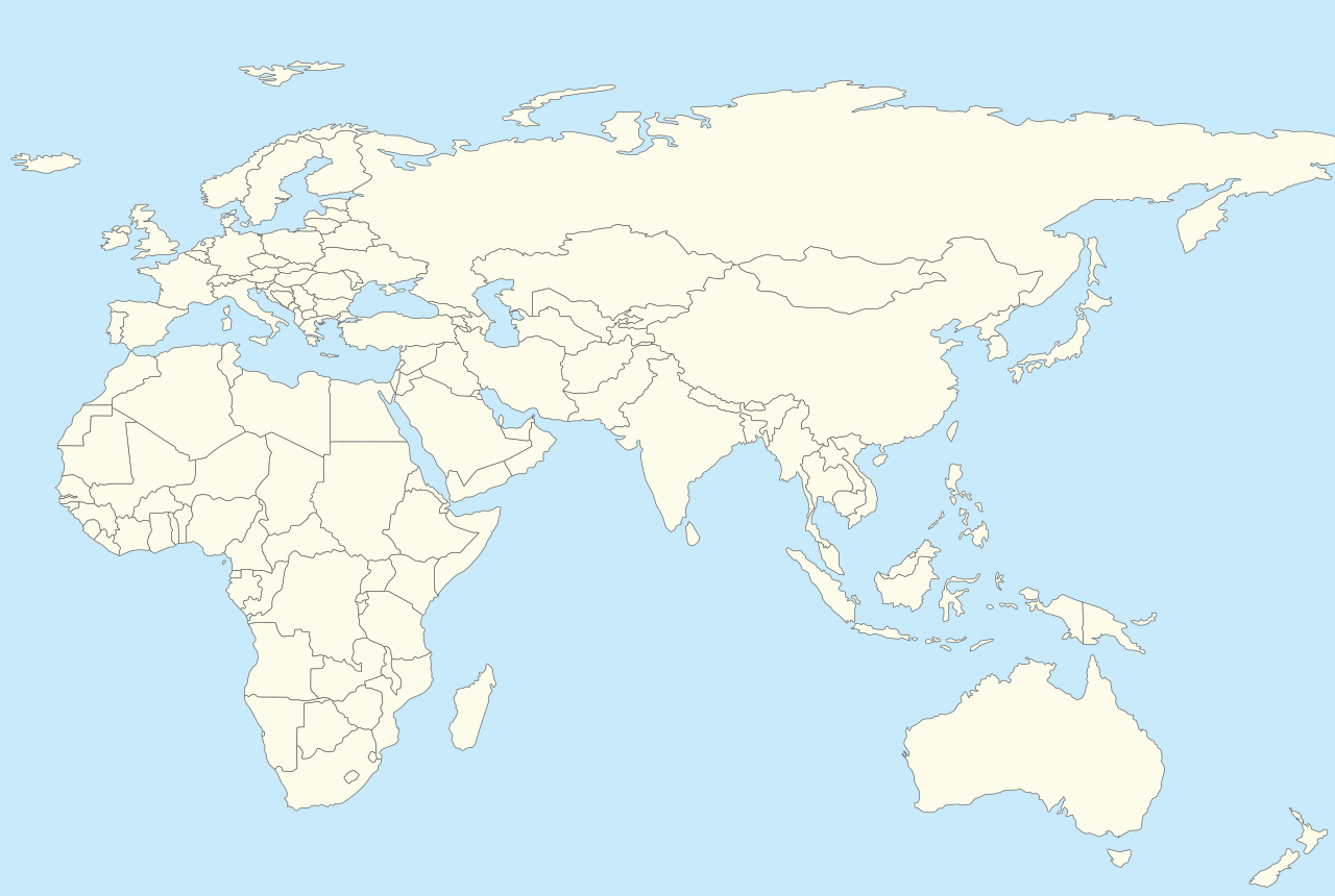
| Description | Location map for Afro-Eurasia with national borders added |
| Date | (UTC) |
| Source | |
| Author |
|
| This is a
retouched picture, which means that it has been digitally altered from its original version. The original can be viewed here:
World location map.svg:
|
I, the copyright holder of this work, hereby publish it under the following license:
| I, the copyright holder of this work, release this work into the
public domain. This applies worldwide. In some countries this may not be legally possible; if so: I grant anyone the right to use this work for any purpose, without any conditions, unless such conditions are required by law. |
Original upload log
This image is a derivative work of the following images:
-
File:World_location_map.svg licensed with PD-self
- 2010-04-18T18:53:02Z STyx 800x400 (599024 Bytes) {{Information |Description={{en|1=?}} |Source=? |Author=? |Date= |Permission= |other_versions= }} == {{int:filedesc}} == {{Information |Description={{en}}Blank world map for location map templates ([[:en:Equirectangular proje
Uploaded with derivativeFX
File history
Click on a date/time to view the file as it appeared at that time.
| Date/Time | Thumbnail | Dimensions | User | Comment | |
|---|---|---|---|---|---|
| current | 11:59, 28 October 2010 |
| 457 × 307 (251 KB) | 배우는사람 | {{Information |Description=Location map for Afro-Urasia |Source=* File:World_location_map.svg |Date=2010-10-28 11:58 (UTC) |Author=* File:World_location_map.svg: *derivative work: ~~~ |Permission= |other_versions= }} {{RetouchedPicture||editor= |
File usage
The following pages on the English Wikipedia use this file (pages on other projects are not listed):
- APR-1400
- Acheulean
- Al Maktoum International Airport
- Benaud–Qadir Trophy
- Caspian Sea
- De Havilland DH.88 Comet
- Judo Grand Slam
- King Khalid International Airport
- Kuwait International Airport
- MacRobertson Air Race
- Malaysia Airlines Flight 17
- Mexico City International Airport
- Monterrey International Airport
- Navy Region Europe, Africa, Central
- Neom Bay Airport
- Oldowan
- Pointe des Almadies
- Prince Mohammad bin Abdulaziz International Airport
- Tbilisi International Airport
- Visit of Jung Bahadur Rana to Europe
- Talk:Reactions to Innocence of Muslims/Archive 2
- User:Catfish Jim and the soapdish/map
- User:Nadeem Muhammad Ghzo/sandbox
- User:Nirmaljoshi/sandbox/maptest
- Wikipedia:Coloring cartographic maps
- Wikipedia:Graphics Lab/Map workshop/Archive/Apr 2013
- Module:Location map/data/Afro-Eurasia
- Module:Location map/data/Afro-Eurasia/doc
Global file usage
The following other wikis use this file:
- Usage on ar.wikipedia.org
- Usage on azb.wikipedia.org
- Usage on bs.wikipedia.org
- Usage on ca.wikipedia.org
- Usage on ceb.wikipedia.org
- Usage on da.wikipedia.org
- Usage on es.wikipedia.org
- Usage on eu.wikipedia.org
- Usage on fa.wikipedia.org
- Usage on fr.wikipedia.org
- Usage on he.wikipedia.org
- Usage on hi.wikipedia.org
- Usage on kn.wikipedia.org
- Usage on ko.wikipedia.org
View more global usage of this file.