
Original file (SVG file, nominally 1,807 × 1,331 pixels, file size: 305 KB)
| This is a file from the
Wikimedia Commons. Information from its
description page there is shown below. Commons is a freely licensed media file repository. You can help. |
Summary
| Description |
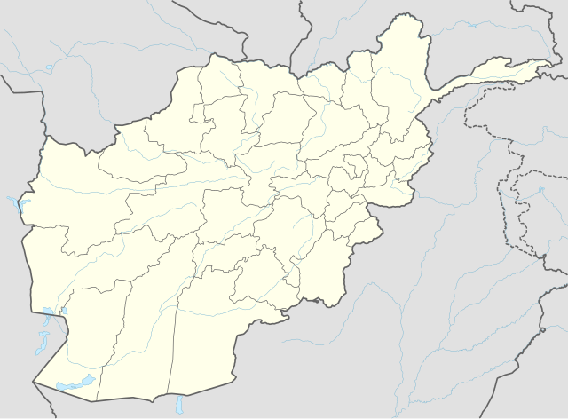
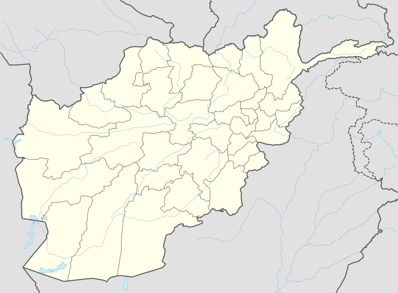
Deutsch: Positionskarte von Afghanistan
English: Location map of Afghanistan
پښتو: د افغانستان نقشه
|
||||||||||||
| Date | |||||||||||||
| Source |
Own work using:
|
||||||||||||
| Author | NordNordWest | ||||||||||||

|
This map has been made or improved in the German
Kartenwerkstatt (Map Lab). You can
propose maps to improve as well.
|
Licensing
Usage of this file with:

explanatory notes: Legally binding is only the full legalcode. For a free usage I recommend to respect the following licence conditions:
1. Provide my name as given above:
NordNordWest,
2. a copy of, or the URI for, the applicable license:
https://creativecommons.org/licenses/by-sa/3.0/de/legalcode,
3. the title of the work,
4. in the case of an adaptation, a credit identifying the use of the work in the adaptation.
This license and the rights granted hereunder will terminate automatically upon any breach by you of the terms of this license. Any of the above conditions can be waived if you get permission from the copyright holder. If you have questions or wish differing conditions, please contact me through nnwest or
my discussion page ![]() t-online.de
t-online.de
- You are free:
- to share – to copy, distribute and transmit the work
- to remix – to adapt the work
- Under the following conditions:
- attribution – You must give appropriate credit, provide a link to the license, and indicate if changes were made. You may do so in any reasonable manner, but not in any way that suggests the licensor endorses you or your use.
- share alike – If you remix, transform, or build upon the material, you must distribute your contributions under the same or compatible license as the original.

File history
Click on a date/time to view the file as it appeared at that time.
| Date/Time | Thumbnail | Dimensions | User | Comment | |
|---|---|---|---|---|---|
| current | 18:11, 25 September 2014 |
| 1,807 × 1,331 (305 KB) | NordNordWest | == {{int:filedesc}} == {{Information |Description= {{de|1=Positionskarte von Afghanistan}} {{en|1=Location map of Afghanistan}} {{Location map series N |stretching=115 |top=38.8 |bottom=29.0 |left=60.0 |right=75.3 }} |Source={{Own using}} * World Data... |
File usage
More than 100 pages use this file. The following list shows the first 100 pages that use this file only. A full list is available.
- Ab Band District
- Ab Khuda'i
- Ahtaj
- Ajristan District
- Alexandria in the Caucasus
- Anar Dara District
- Andkhoy (city)
- Arghandab District, Kandahar
- Aryob
- Asadabad, Afghanistan
- Aybak, Samangan
- Bagram Airfield
- Bakwa District
- Bala Buluk District
- Bala Murghab District
- Camp Julien
- Camp Nathan Smith
- Camp Rhino
- Chaghcharan
- Chaki Wardak District
- Chaparhar District
- Char Bagh
- Charikar
- Charkint District
- Dasht-i-Leili massacre
- Day Mirdad District
- Deh Rawood
- Deh Rawood District
- Dih Salah District
- Dishu District
- Farah, Afghanistan
- Farang Wa Gharu District
- Gelan District
- Ghormach District
- Grishk
- Grishk District
- Gulistan District
- Guzargahi Nur District
- Haji Piyada
- Herat International Airport
- Hesarak, Nangarhar
- Imam Sahib
- Istalif
- Jaghori District
- Jalalabad
- Jalrez District
- Kabul International Airport
- Kahmard
- Kahmard District
- Kajaki District
- Kambojas
- Kandahar International Airport
- Karz, Kandahar
- Khaki Safed District
- Khost
- Khulm District
- Khwaja Hijran District
- Kushk, Afghanistan
- Landay, Helmand
- Lash Wa Juwayn District
- Lashkargah District
- Lejay, Afghanistan
- List of World Heritage Sites in Afghanistan
- List of cities in Afghanistan
- Maidan Shar
- Maiwand
- Malistan District
- Maruf, Afghanistan
- Maymana
- Minaret of Jam
- Multi National Base Tarin Kot
- Muqur, Ghazni
- Muqur District, Ghazni
- Musa Qala District
- Nad Ali District
- Nawa District
- Nawur District
- Nawzad District
- Provinces of Afghanistan
- Puli Hisar District
- Puli Khumri
- Pur Chaman District
- Pusht Rod District
- Qala e Naw District
- Qalati Ghilji
- Sandal, Afghanistan
- Sangin
- Sangin District
- Sar-e Pol, Afghanistan
- Shib Koh District
- Shighnan
- Shin Kalay
- Shkin
- Sholgara District
- Singesar
- Spin Boldak
- Tarinkot
- Washir District
- Yakhdan, Afghanistan
- Zari District
View more links to this file.
Global file usage
The following other wikis use this file:
- Usage on af.wikipedia.org
- Usage on an.wikipedia.org
- Usage on ar.wikipedia.org
- Usage on ast.wikipedia.org
- Fayzabad
- Khandud
- Qal'eh-ye Panjeh
- Qala i Naw
- Bala Murghab
- Puli Khumri
- Baghlan (ciudá)
- Nahrin
- Dahana i Ghuri
- Andarab
- Tash Gozar
- Sholgara
- Qarchi Gak
- Dawlatabad (Balkh)
- Balkh (ciudá)
- Mazar-e Sharif
- Bamiyan (ciudá)
- Nili
- Farah (capital)
- Shindand
- Anar Dara
- Maymana
- Andkhoy
- Darzab
- Ghazni (capital)
- Chaghcharan
- Taywara
- Lashkar Gah
- Sangin
- Herat (ciudá)
- Obe
- Islam Qala
- Ghurian
- Kohsan
- Kushk
- Toraghundi
- Tir Pol
- Zendeh Jan
- Sheberghan
- Aqcha
- Qarqin
View more global usage of this file.