
Size of this JPG preview of this TIF file:
738 × 599 pixels. Other resolutions:
296 × 240 pixels |
591 × 480 pixels |
946 × 768 pixels |
1,261 × 1,024 pixels |
2,522 × 2,048 pixels |
5,000 × 4,060 pixels.
Original file (5,000 × 4,060 pixels, file size: 19.36 MB, MIME type: image/tiff)
| This is a file from the
Wikimedia Commons. Information from its
description page there is shown below. Commons is a freely licensed media file repository. You can help. |
Summary
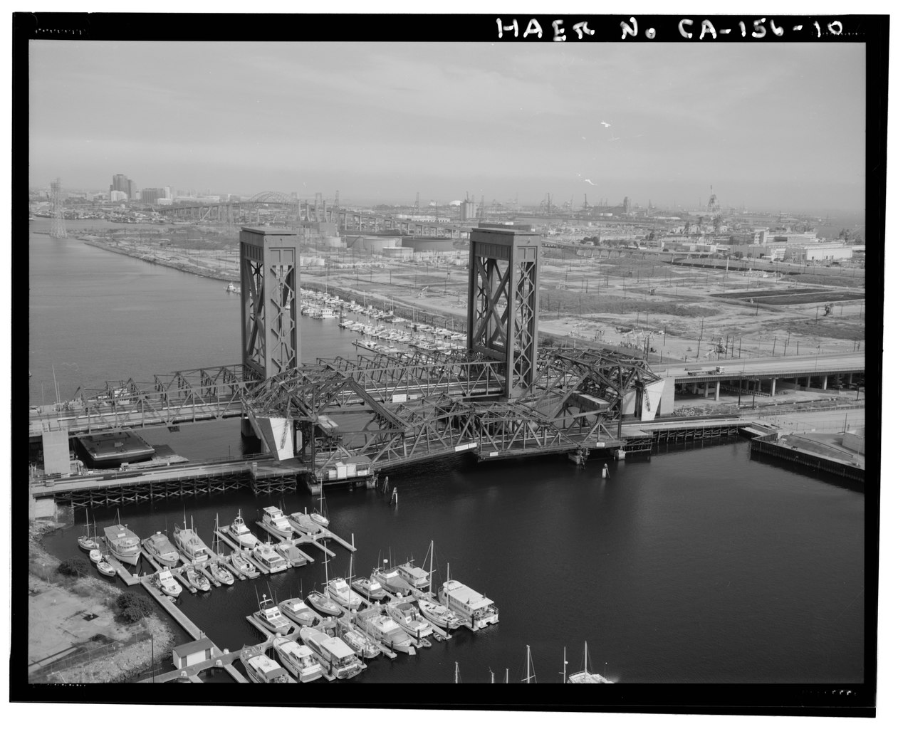
| Aerial view of nearly closed bridge from above Cerritos Channel facing east. - Henry Ford Bridge, Spanning Cerritos Channel, Los Angeles-Long Beach Harbor, Los Angeles, Los Angeles County, CA | ||||
|---|---|---|---|---|
| Photographer |
Eckar, Bruce Related names:
|
|||
| Title |
Aerial view of nearly closed bridge from above Cerritos Channel facing east. - Henry Ford Bridge, Spanning Cerritos Channel, Los Angeles-Long Beach Harbor, Los Angeles, Los Angeles County, CA |
|||
| Depicted place | California; Los Angeles County; Los Angeles | |||
| Date | 1994 | |||
| Dimensions | 4 x 5 in. | |||
| Current location |
Library of Congress Prints and Photographs Division Washington, D.C. 20540 USA
http://hdl.loc.gov/loc.pnp/pp.print |
|||
| Accession number |
HAER CAL,19-LOSAN,75-10 |
|||
| Credit line |
|
|||
| Notes |
|
|||
| Source | https://www.loc.gov/pictures/item/ca1967.photos.181385p | |||
| Permission ( Reusing this file) |
|
|||

| Object location |
| View this and other nearby images on: OpenStreetMap |
|
|---|
File history
Click on a date/time to view the file as it appeared at that time.
| Date/Time | Thumbnail | Dimensions | User | Comment | |
|---|---|---|---|---|---|
| current | 05:58, 5 July 2014 |
 | 5,000 × 4,060 (19.36 MB) | Fæ | GWToolset: Creating mediafile for Fæ. HABS 05 July 2014 (401:500) |
File usage
The following pages on the English Wikipedia use this file (pages on other projects are not listed):
Global file usage
The following other wikis use this file:
- Usage on de.wikipedia.org